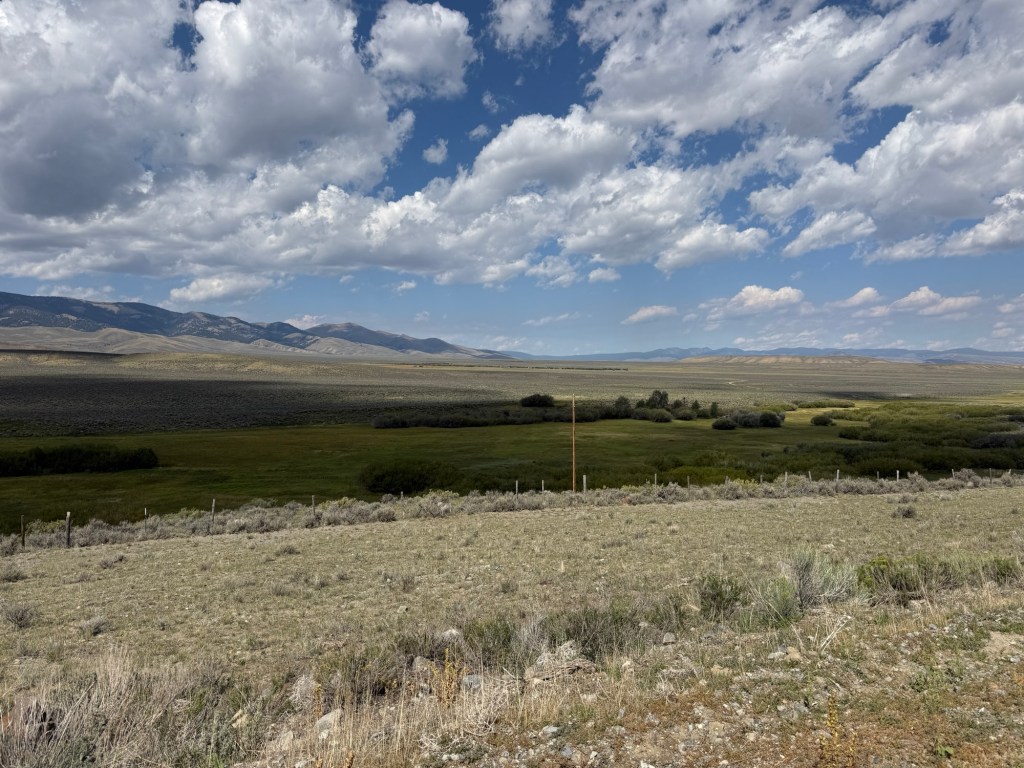
Saturday, August 22nd, 48.2 miles and 1725 accumulated vertical feet up.
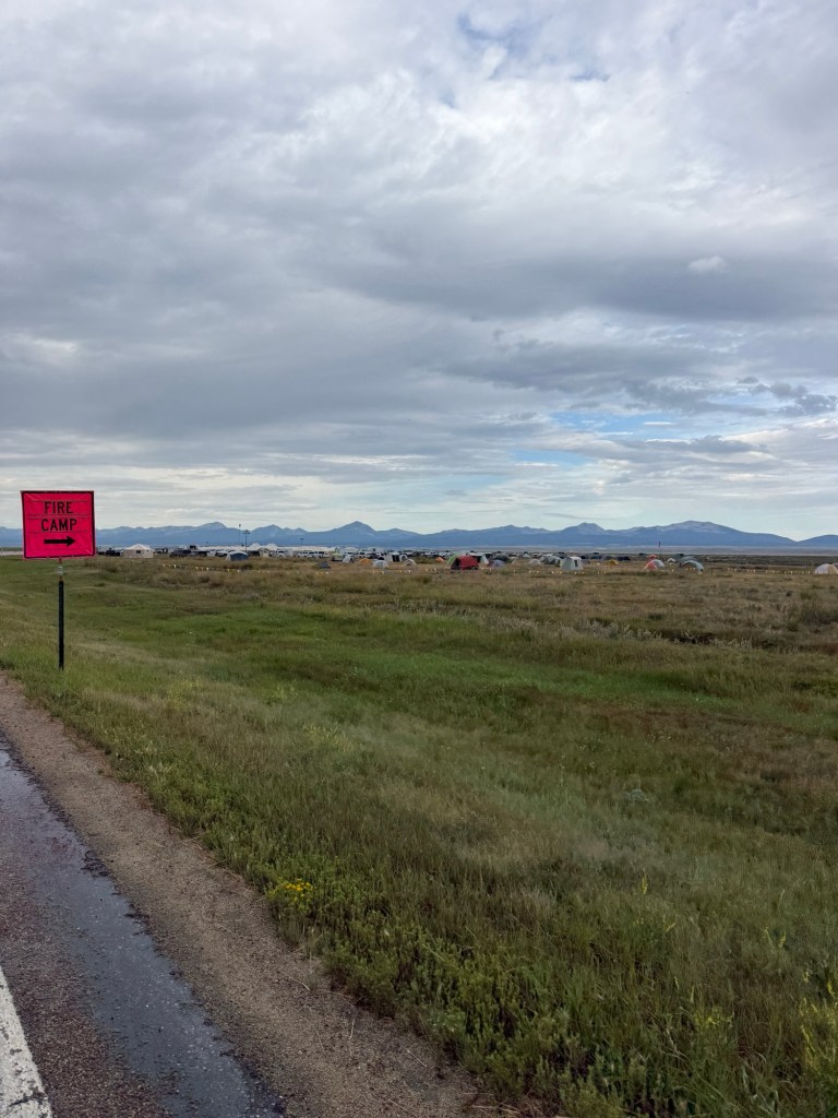
As you know we have to modify our route because of two fairly large and uncontrolled wild fires in the Pioneer Mountains and both fires are burning up to our route the Pioneer Mountains Scenic Byway. We have progressed about 40 miles into our detour so we are in the middle of the Firefighting activity area. We stopped to get breakfast at Fretty’s, very good local bar and restaurant.
Outside on highway 43 we see a continuous flow of trucks apparently going to and from the fires. There are a few that pull into Fretty’s. Labels on sides of these trucks identify them as US Forest Service, various fire management companies, Construction companies, US Military and many private fire mitigation companies..
It’s raining lightly outside and I’m sure more folks around here are thankful for the rain than we are wishing for it to stop.
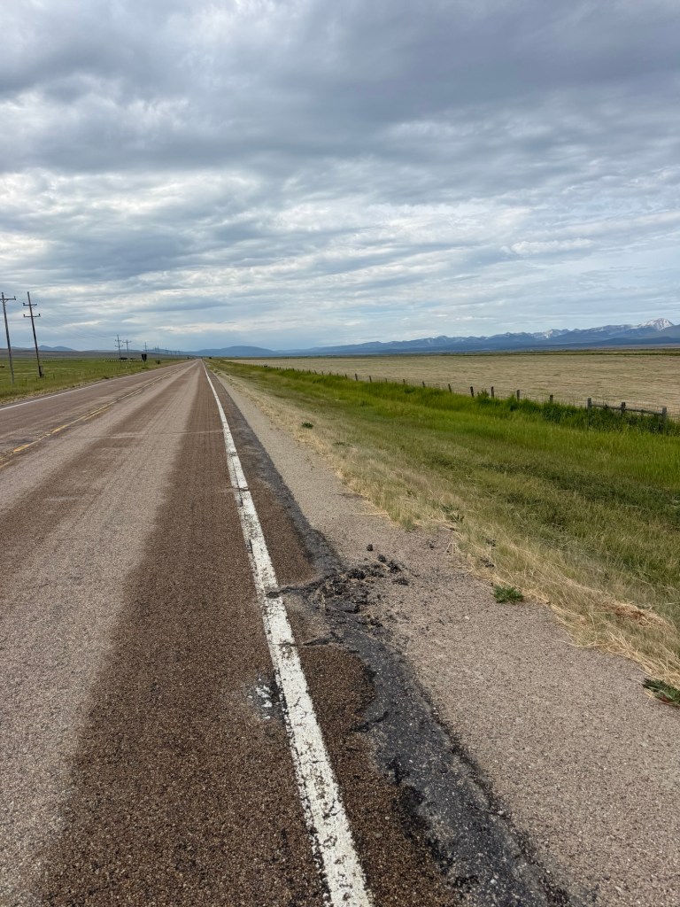
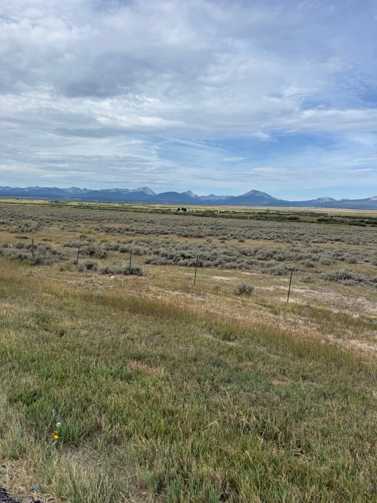
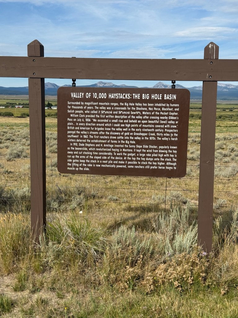
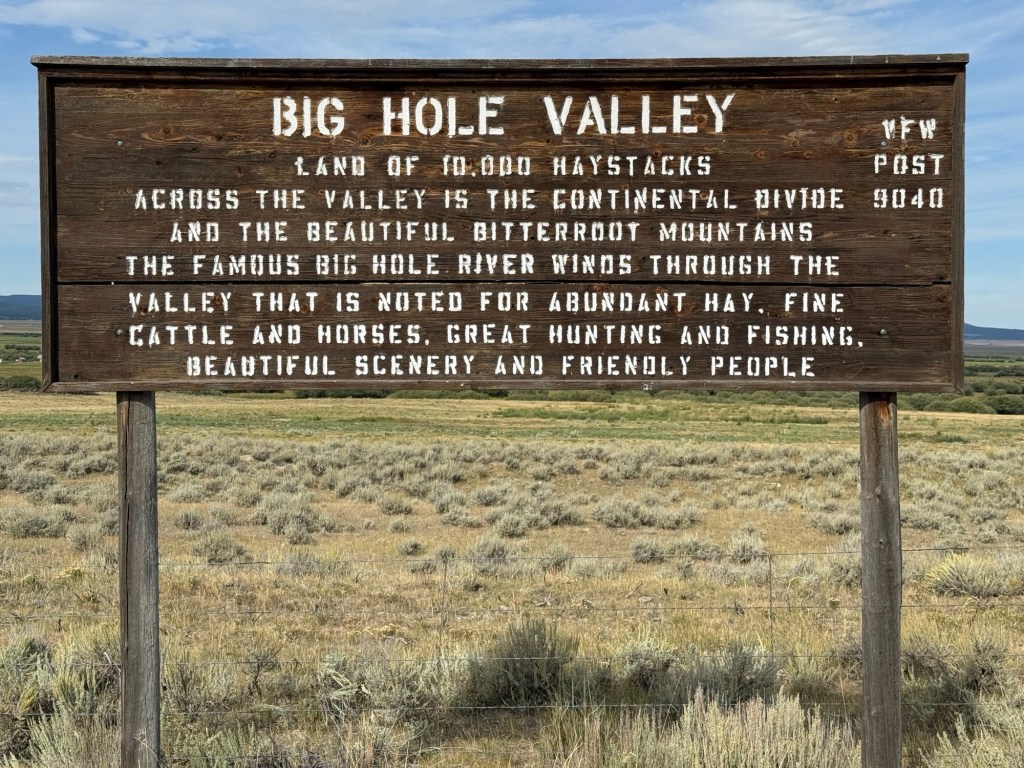
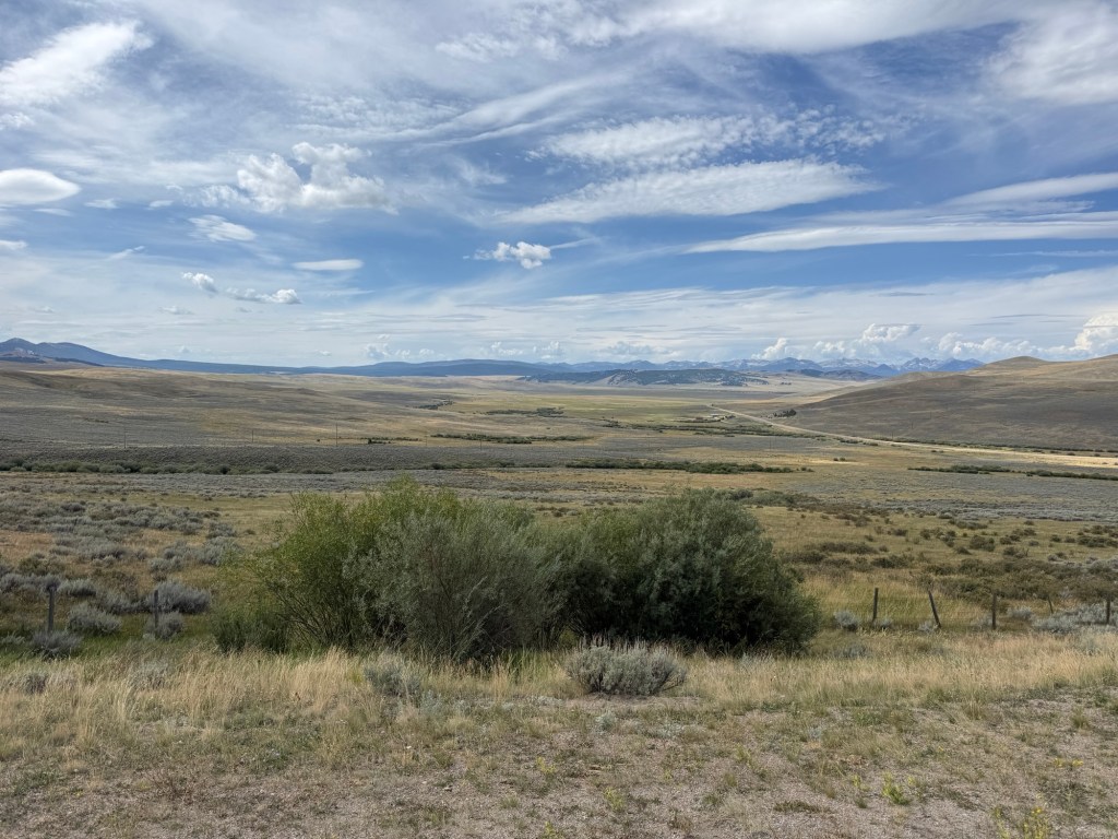
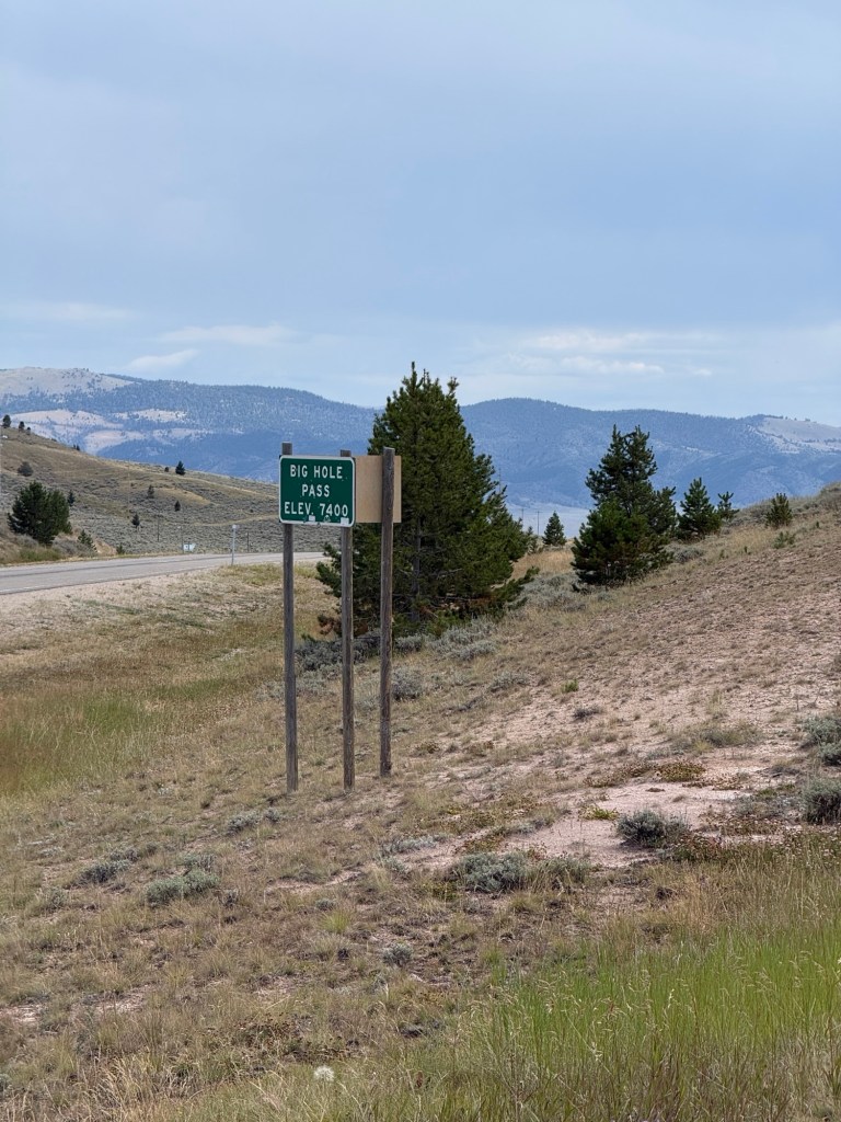
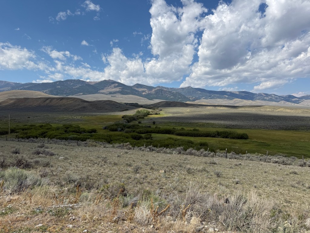
If it weren’t for the fires we would be seeing mountains but our detour is routing us through The Big Hole Valley. It’s beautiful, it’s big, and it’s interesting.
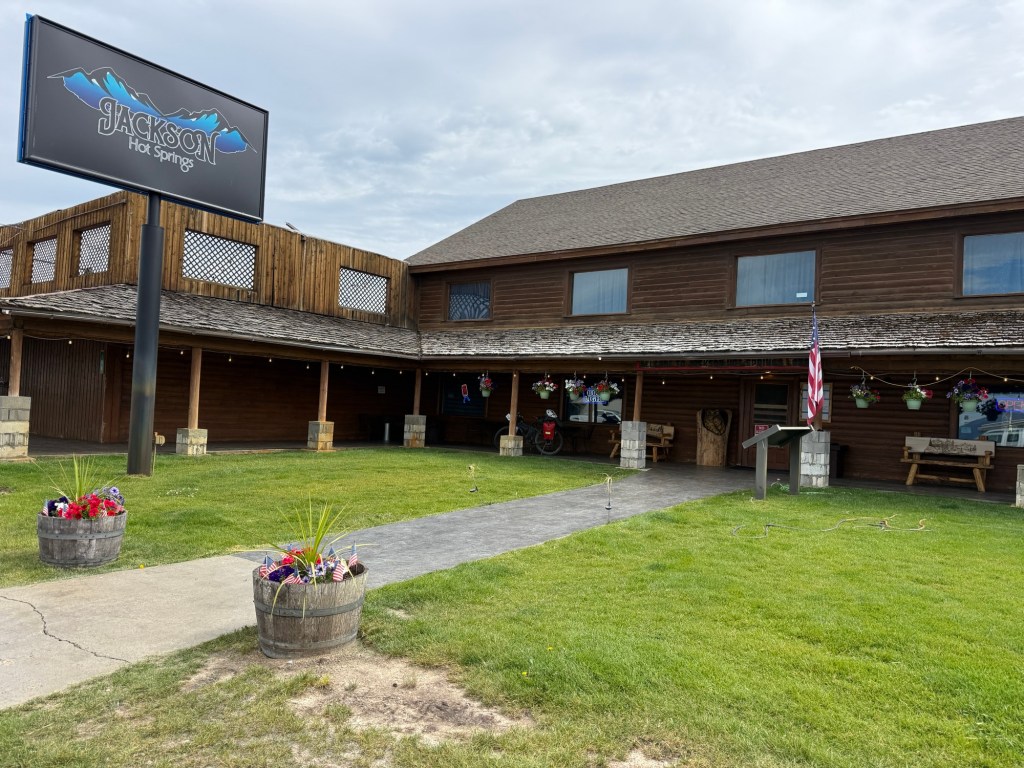
Next Stop Jackson Montana for 2nd breakfast at Jackson Hot Springs.
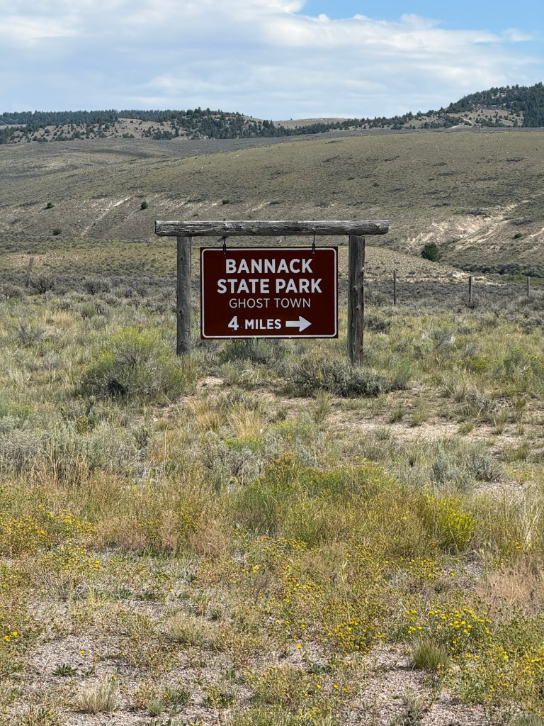
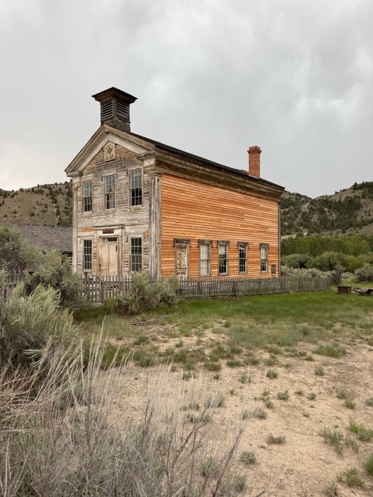
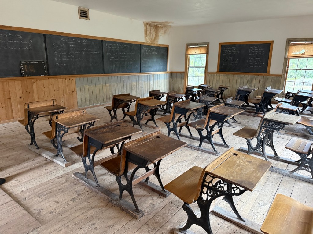
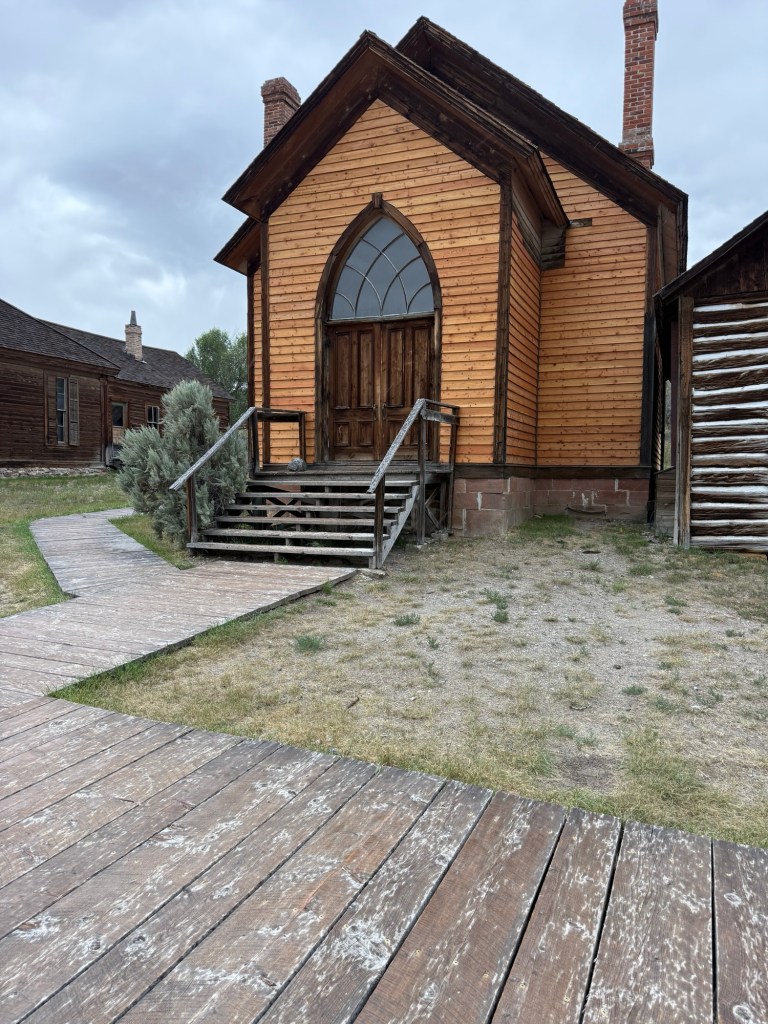
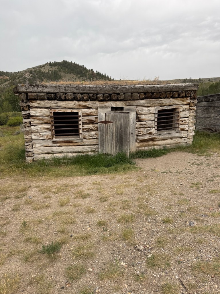
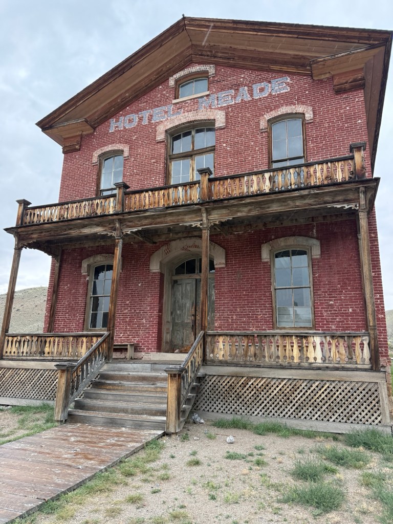
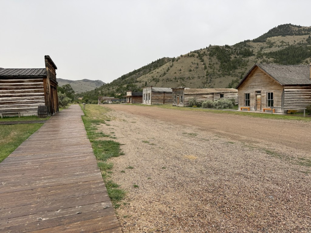
Bannack is a ghost town that was the Territorial Capital of this region. It was founded as a gold mining town.
Sunday, August 23rd, 47.5 miles and 3397 accumulated vertical feet up.
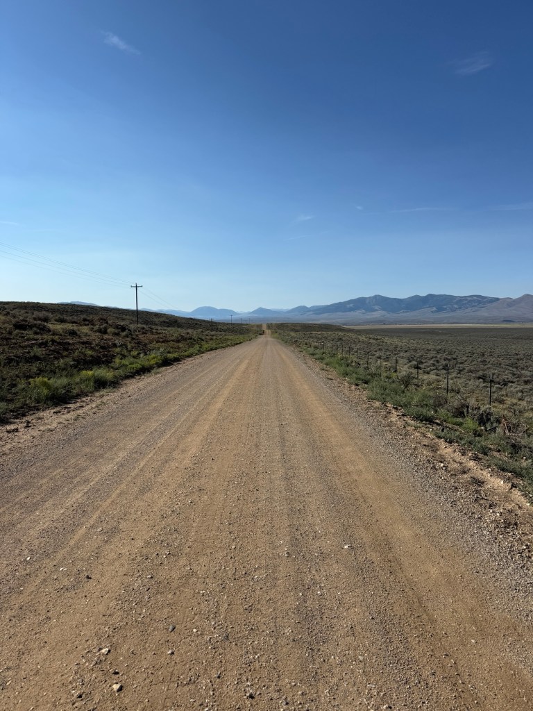
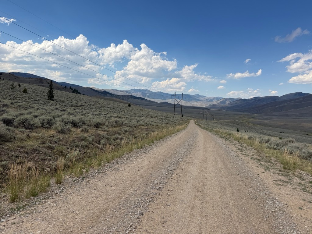
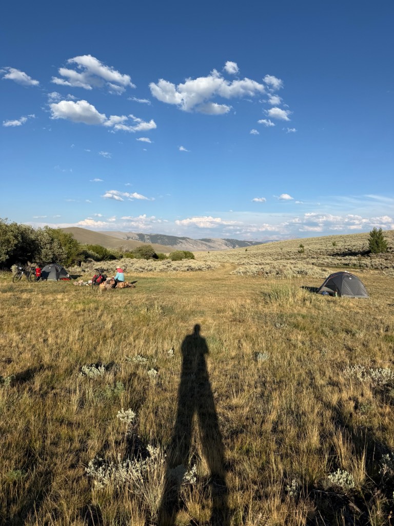
Saturday night I went to sleep in the rain, it quite around 9. I was awake and started packing at 6:30 but by 6:50 it was raining again, I laid back down and waited until it stopped. It stopped raining at about 7:45, I continued the packing and took the tent’s top rain fly off and packed it wet. Everything else was pretty much dry-ish. Got going at 8:30. At 13 miles we made a turn onto a rural gravel road, Medicine Lodge Road. Just after we turned we grabbed a shade tree and took a long break. This gave us the opportunity to get out anything that was still damp or wet and lay it out in the sun to dry….Then this young woman in a car “trail Angel” stops and talks a bit, asking the usual questions and so on… but she knew a lot more than most folks. I wished we had more time to talk. She topped off our water bottles and drove off… THANK YOU!!!!!
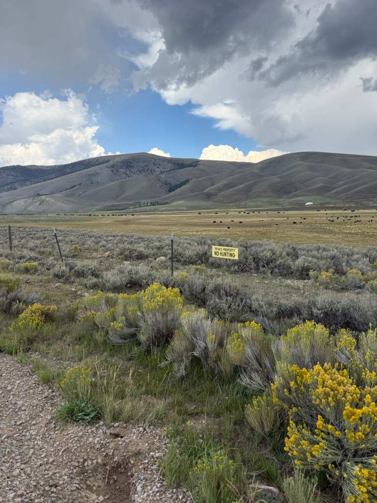
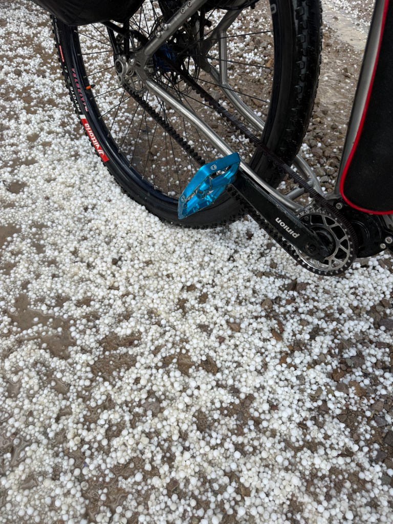
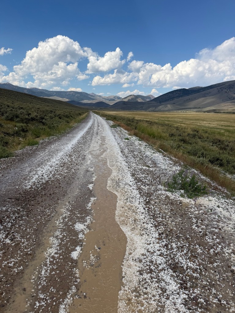
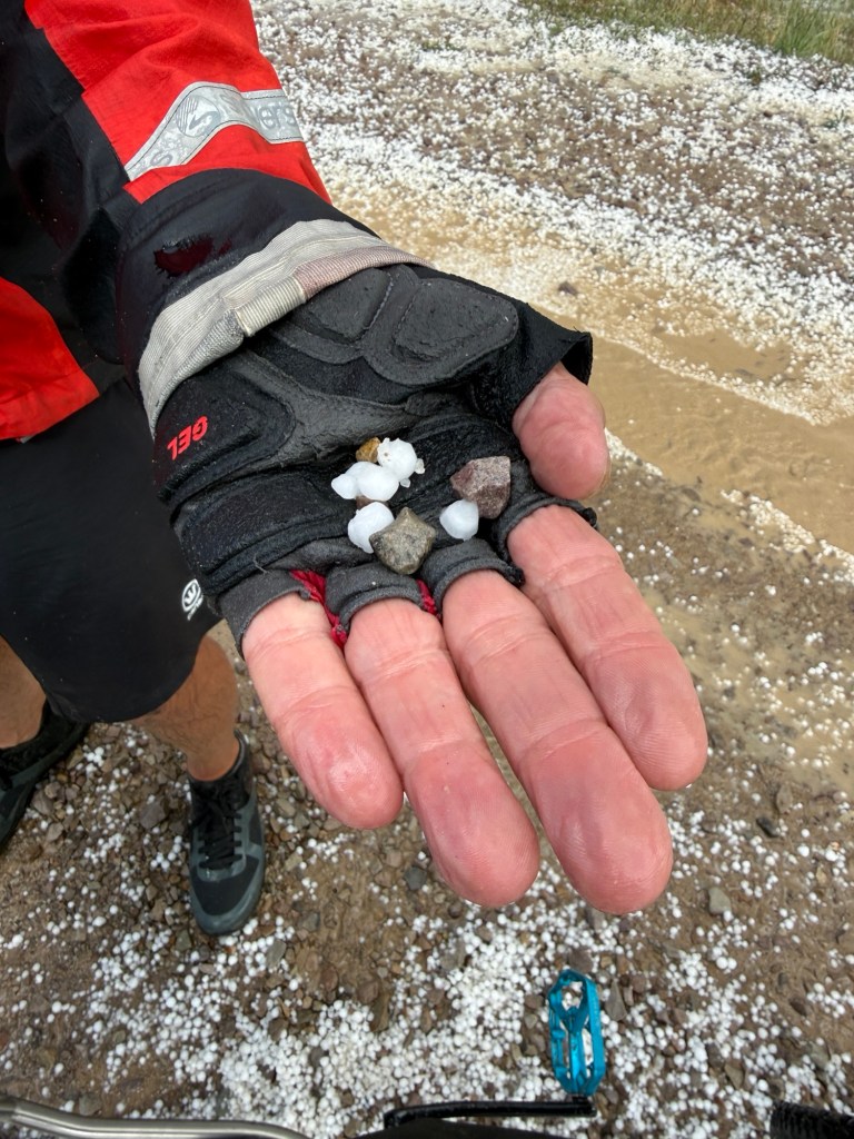
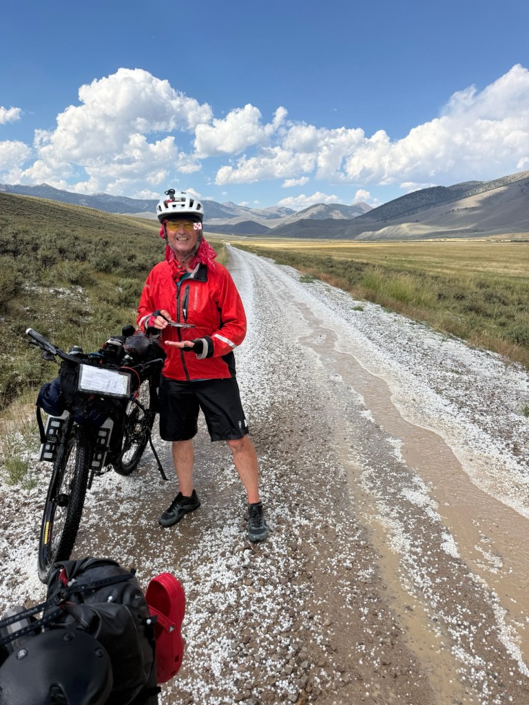
Since I’m telling the story about today I’ll continue: So we spent the rest of the day on Medicine Lodge Road climbing to Medicine Lodge Pass the highest point on the GDMBR so far. We got to 7887 feet above sea level. But before we got there we needed to bike through a 30 minute rain storm with nowhere to escape. We dried out and continued on until we heard 3 very loud blasts of thunder and almost immediately it started Hailing! — and raining and the wind was fierce… I slipped in to my rain coat and kinda sheltered my self from the hail by dropping down behind the back panniers (of course my helmet was on). It was bad! It took us several minutes after the hail quiet to get reoriented and back on the bikes.

 Ken's Adventures
Leave a comment