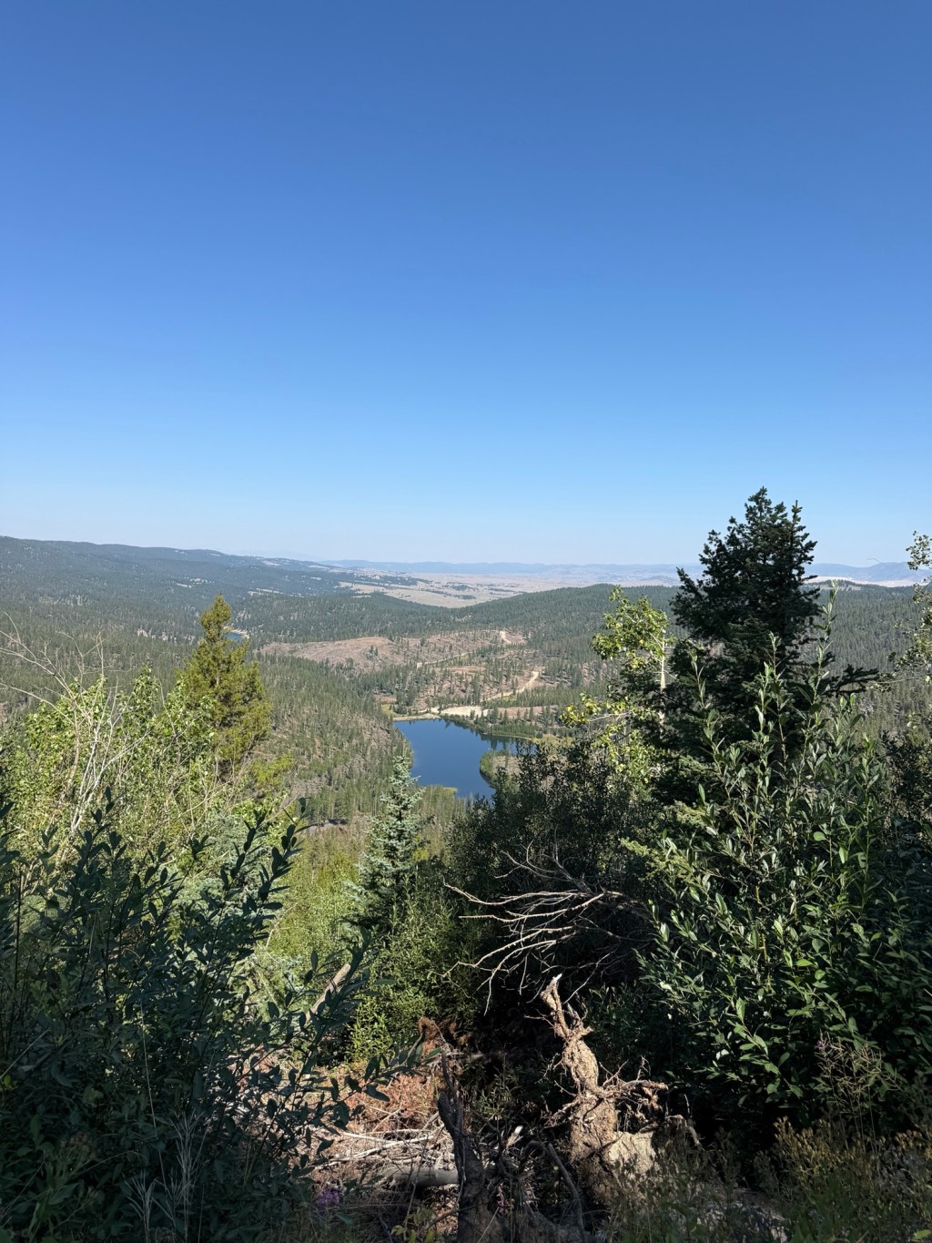
Thursday, August 20th, 40.5 miles and 3349 accumulated vertical feet up.
This morning at breakfast (The Copper King Mansion is a bed and breakfast) there was an older couple (Robert and Terry) from Salt Lake City sitting across the table from me. They are retired, sold their business, and they travel around in his and his son’s Cessna Citation (they have owned it for 27 years). They flew up to Butte to do a tour of some of the city’s oldest homes, including The Copper King Mansion. We had a great conversation that drew in the 86 year old woman that runs this B&B. All in all I think there were 8 guests in the house last night.
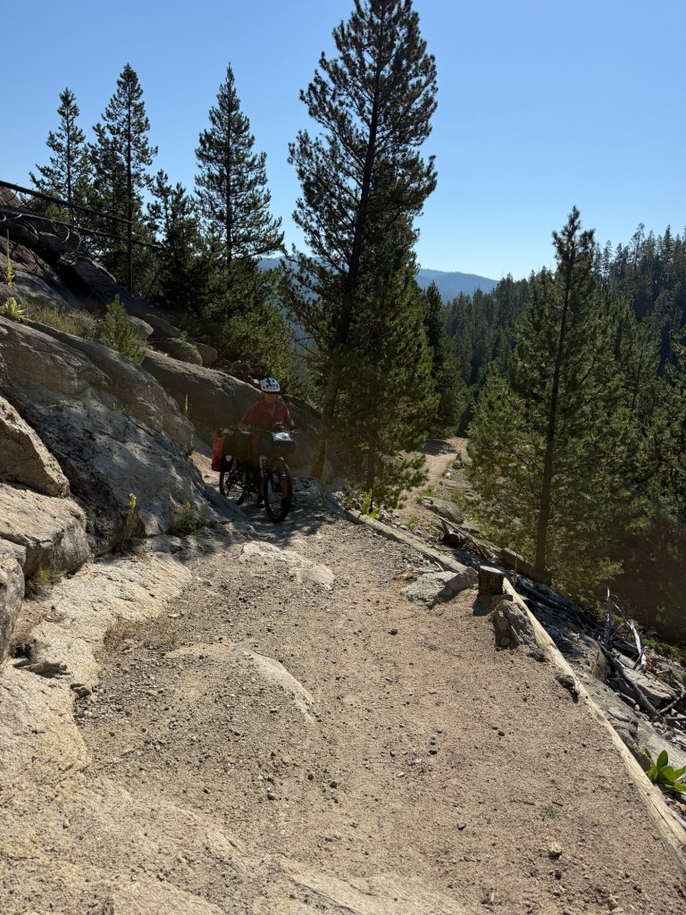
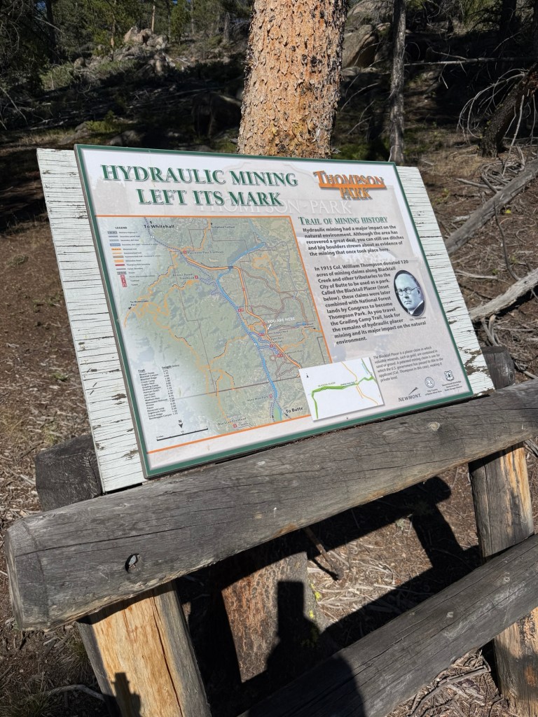
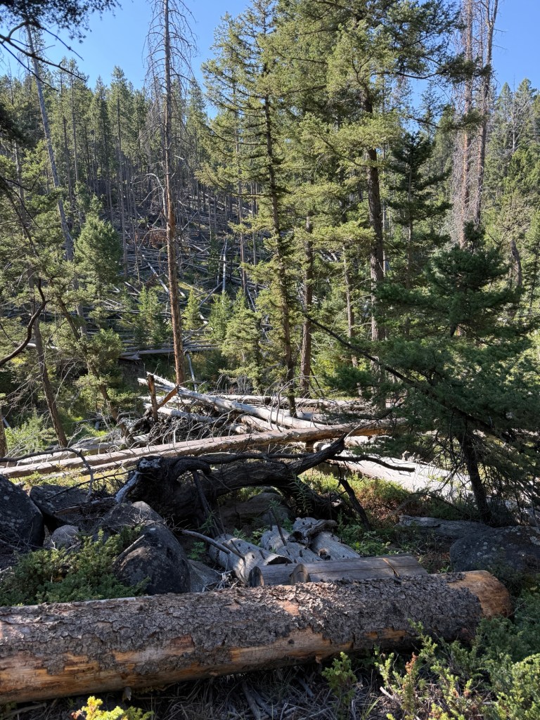
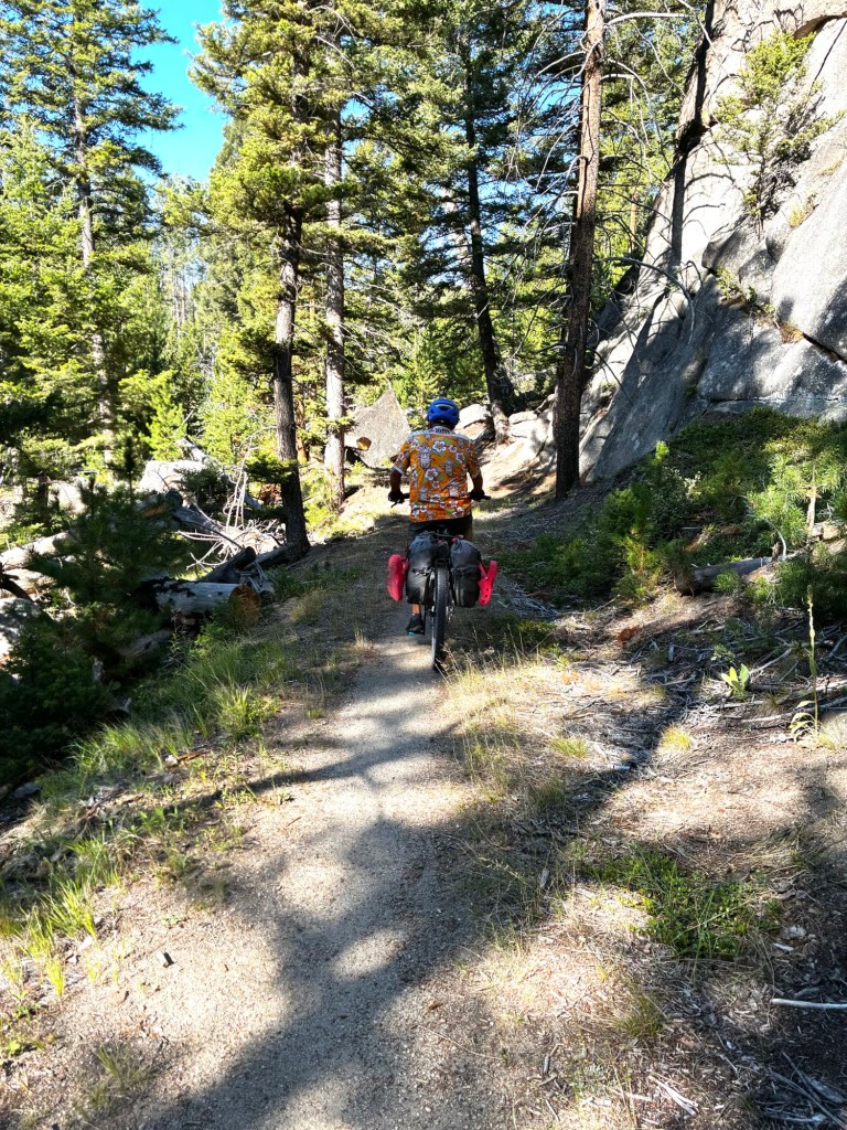
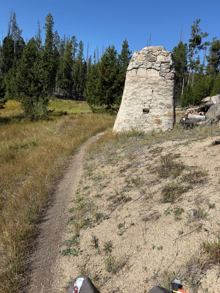
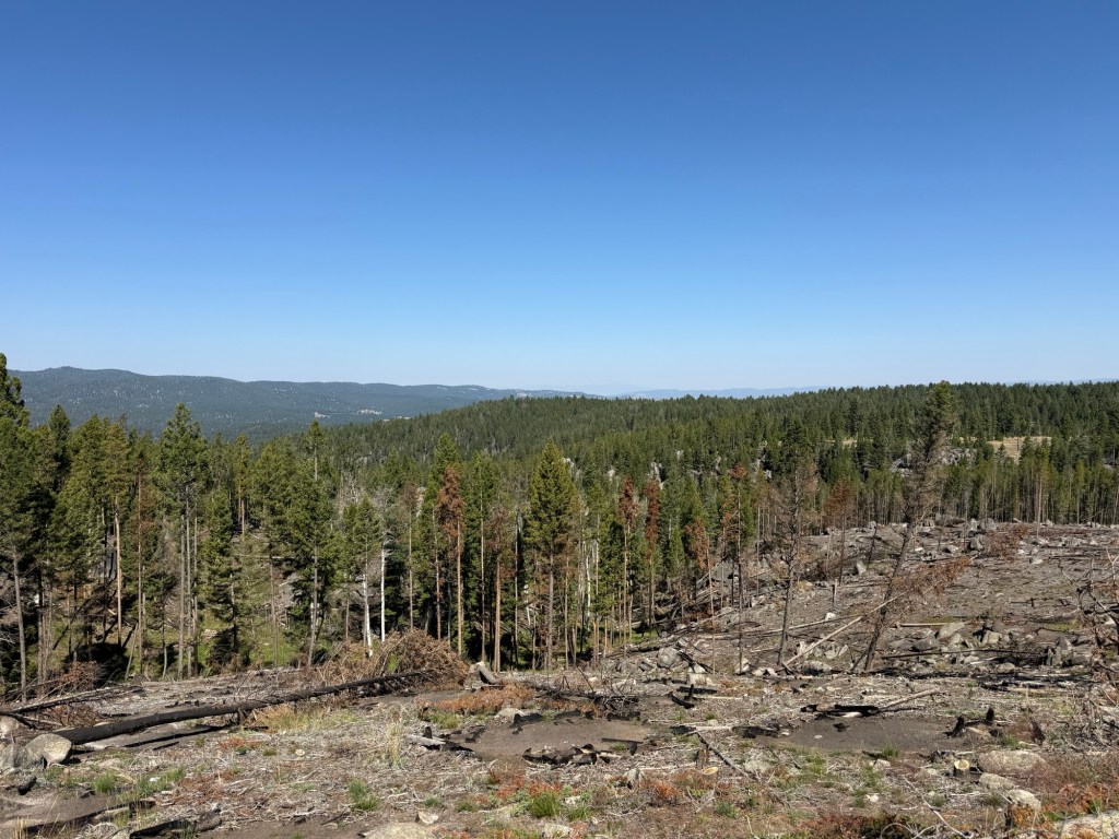
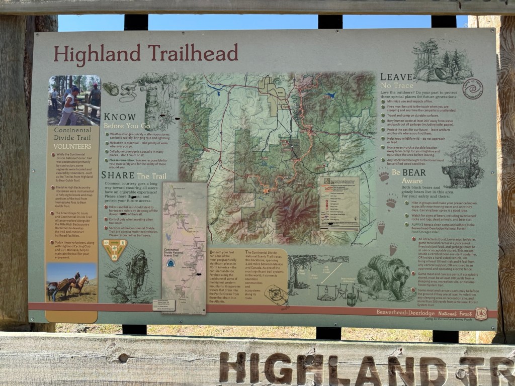
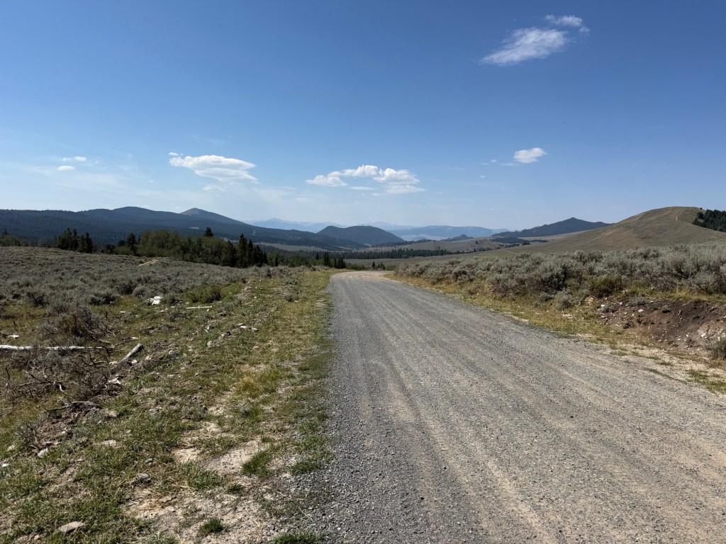
Today I’m saying there were NO bad roads or trails. The 1st 13 miles was a paved cake walk out of Butte. Then a little gravel hill to Thompson Park. Once I was in the park the Great Divide Mountain Bike Route uses the park’s trail system including some old mining roads and Railroad beds. Honestly it was very well done but there was some Hike-a-Bike.
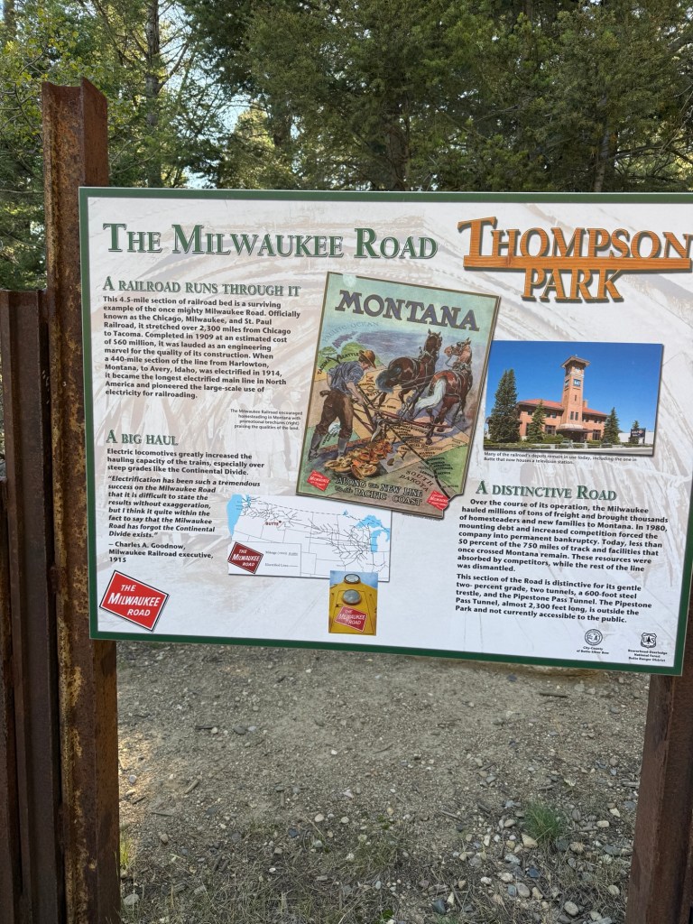
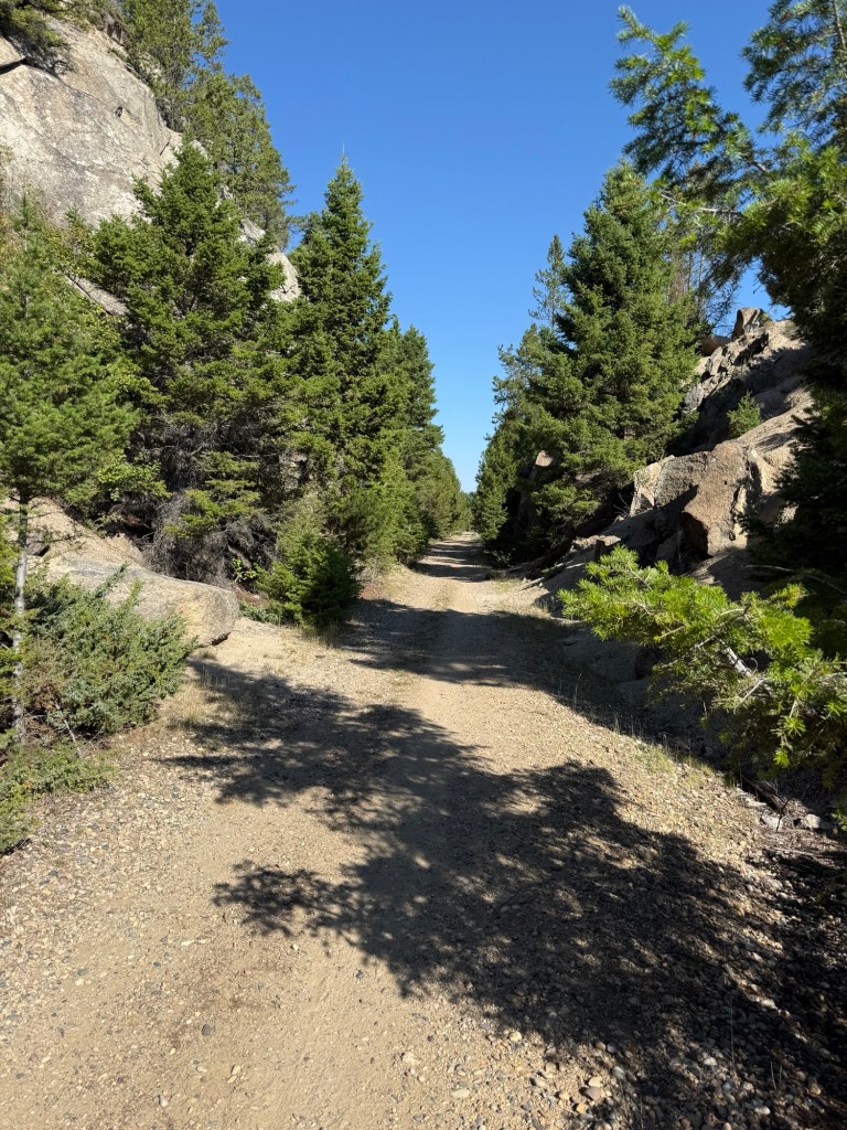
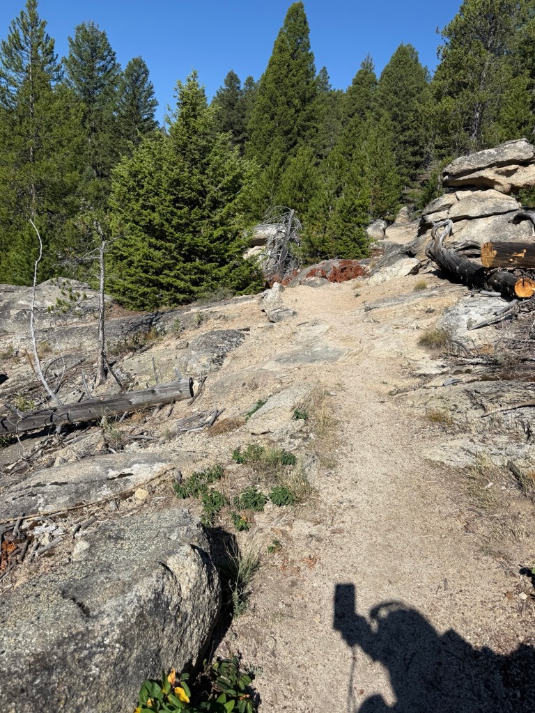
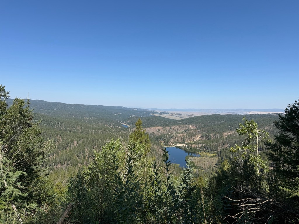
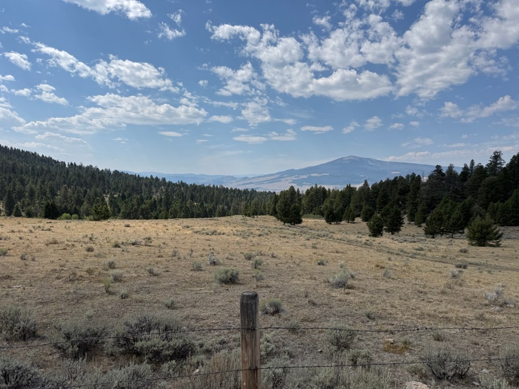
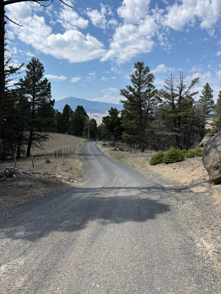
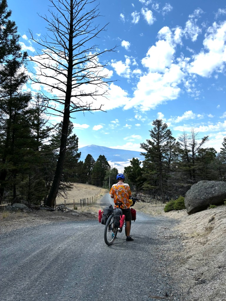
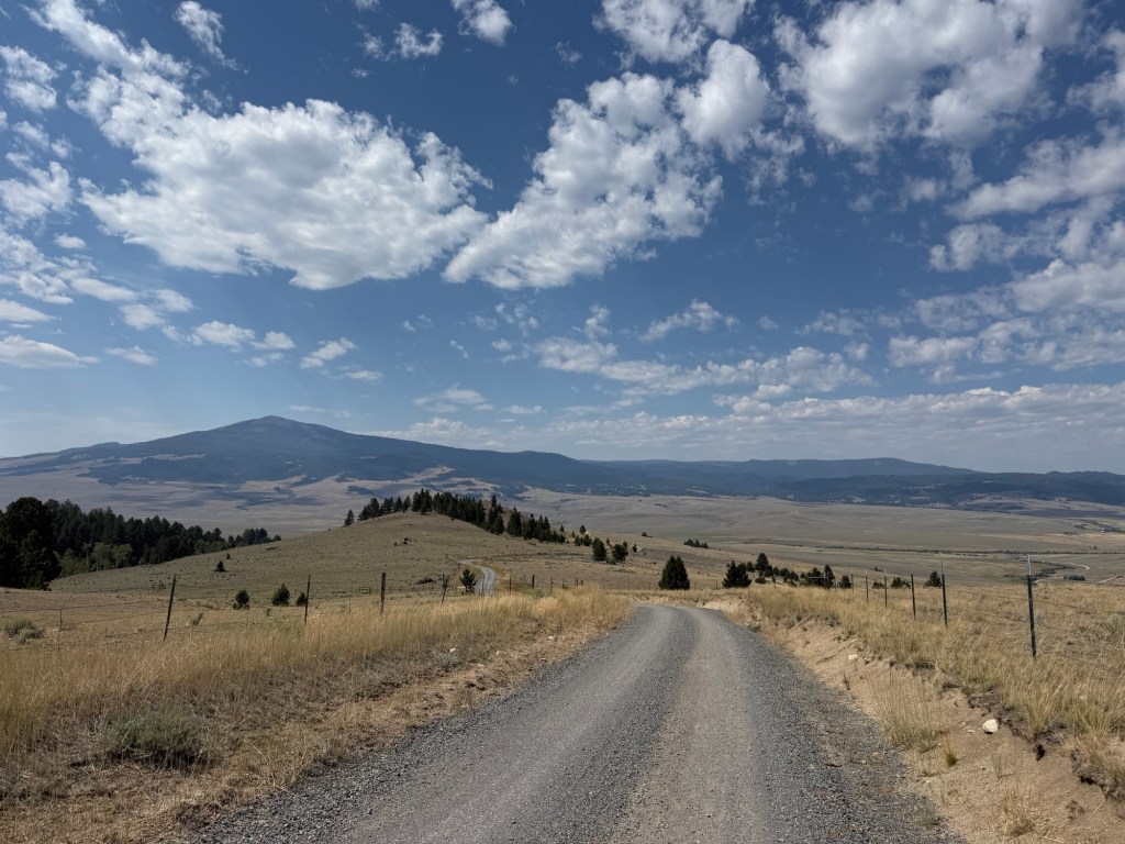
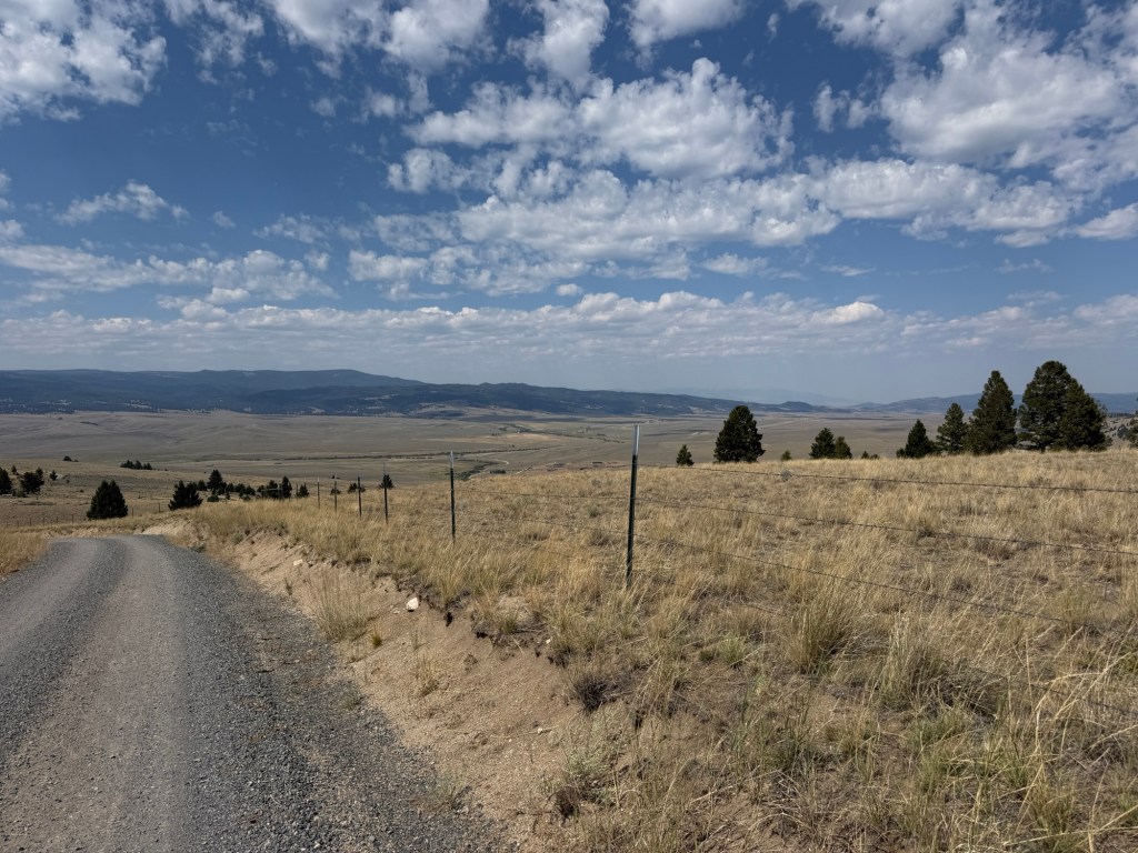
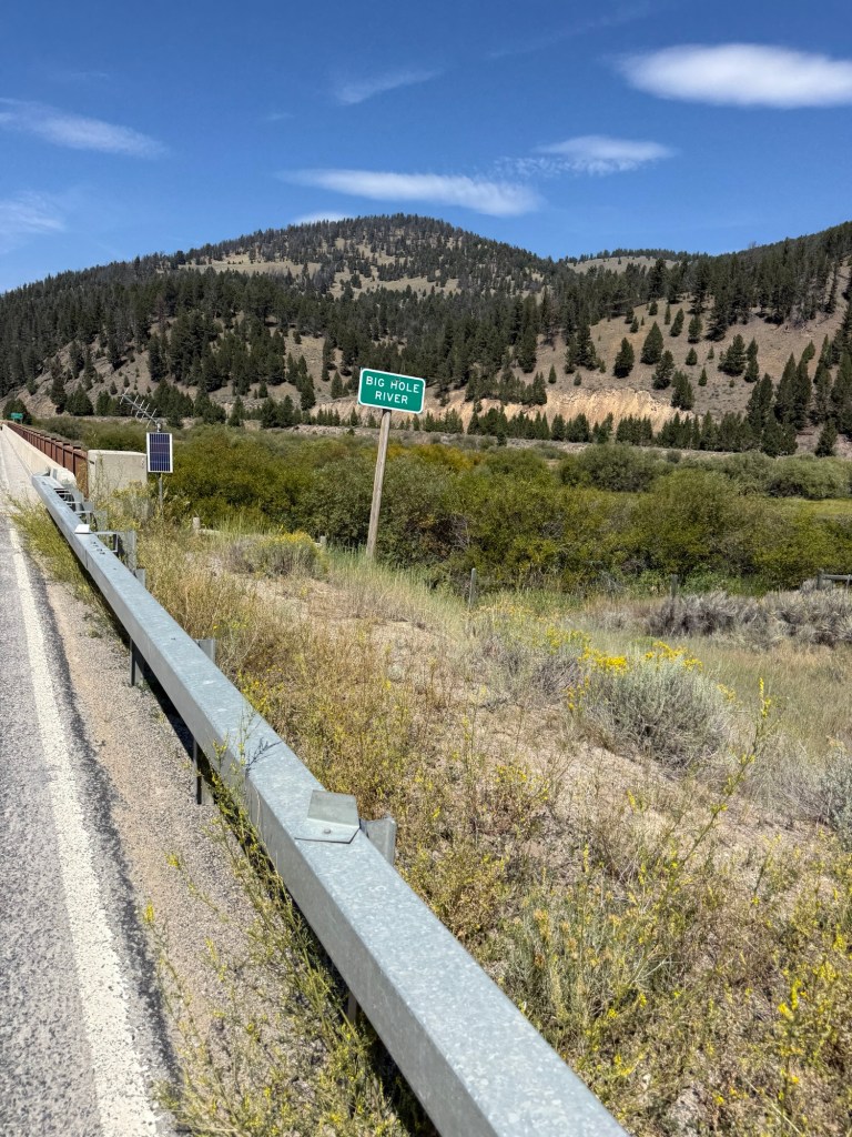
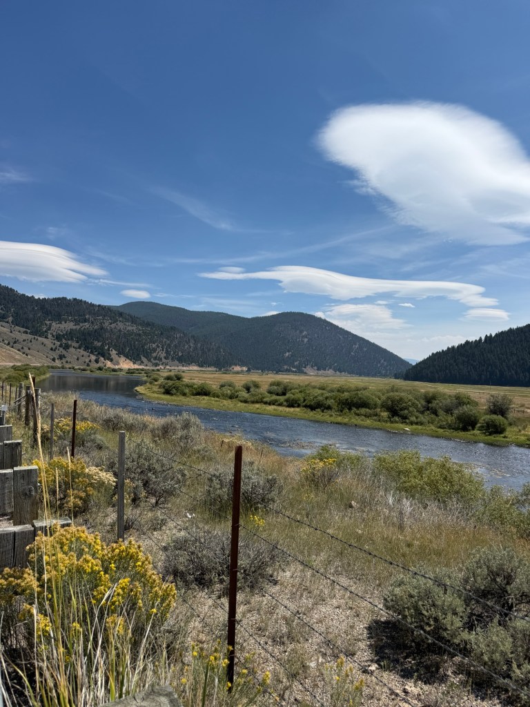
We crossed this Big Hole Valley and rode partially up the other side to camp in the US Forest Service’s Beaver Dam Campground— but I have no pictures!
Friday, August 21st, 55.1 miles and 2283 accumulated vertical feet up. 1121 Route Miles to date and this is the 4th week complete👍
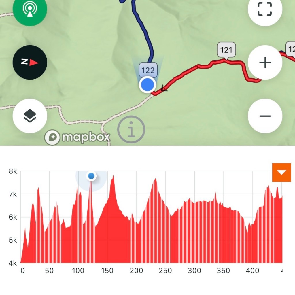
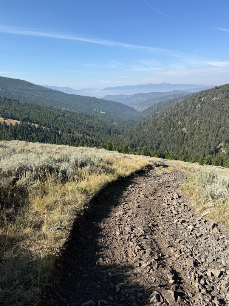
“Fleecer Ridge” that’s the name of a Ridge we are riding to the top of today. In GDMBR lore this is a famously challenging point of this ride. The ride up from the North (today for us) is rather calm and gentle. When you get to the top you need to be there when weather conditions are perfect (we got lucky) because the ride down is like falling off a cliff. Even getting to the absolute top is a matter of following what looks like a cow trail in a large pasture.
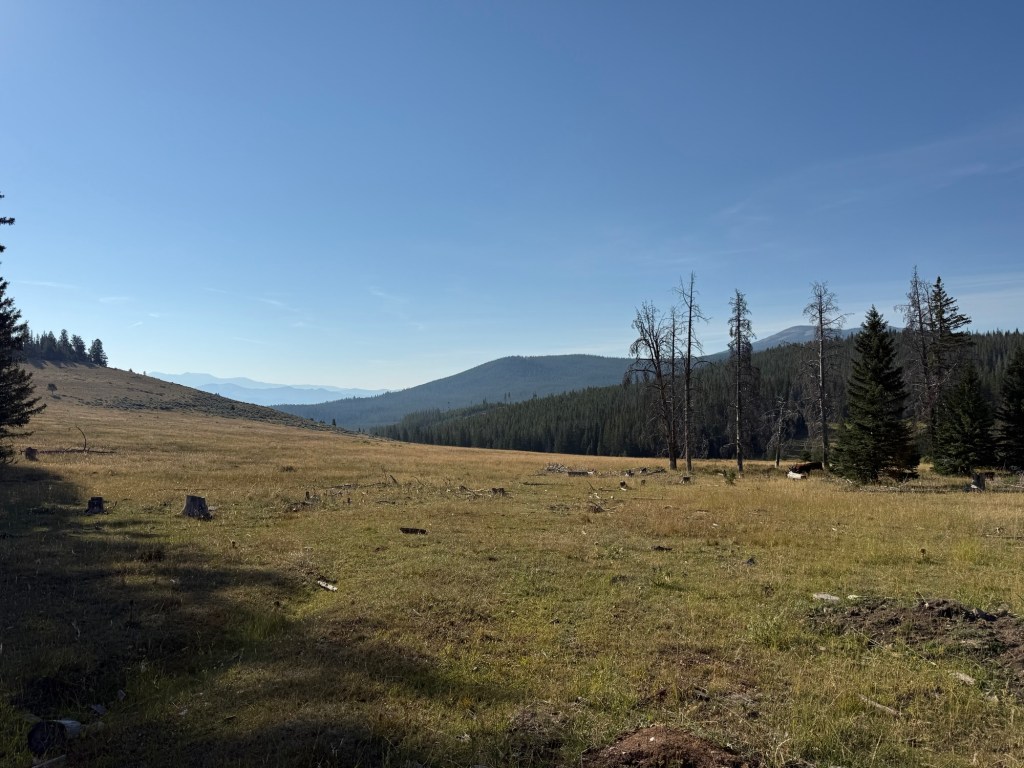
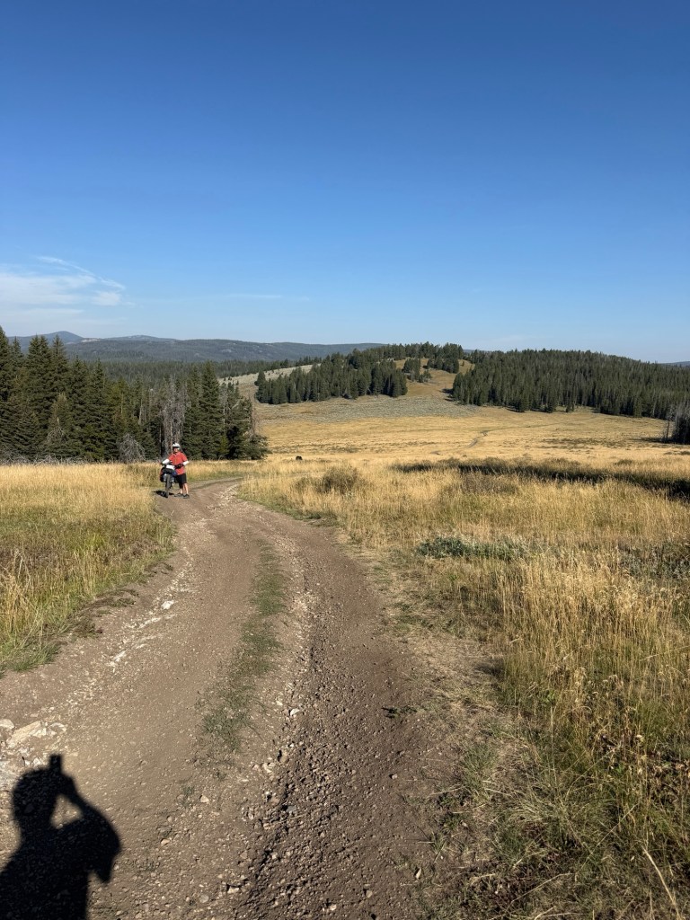
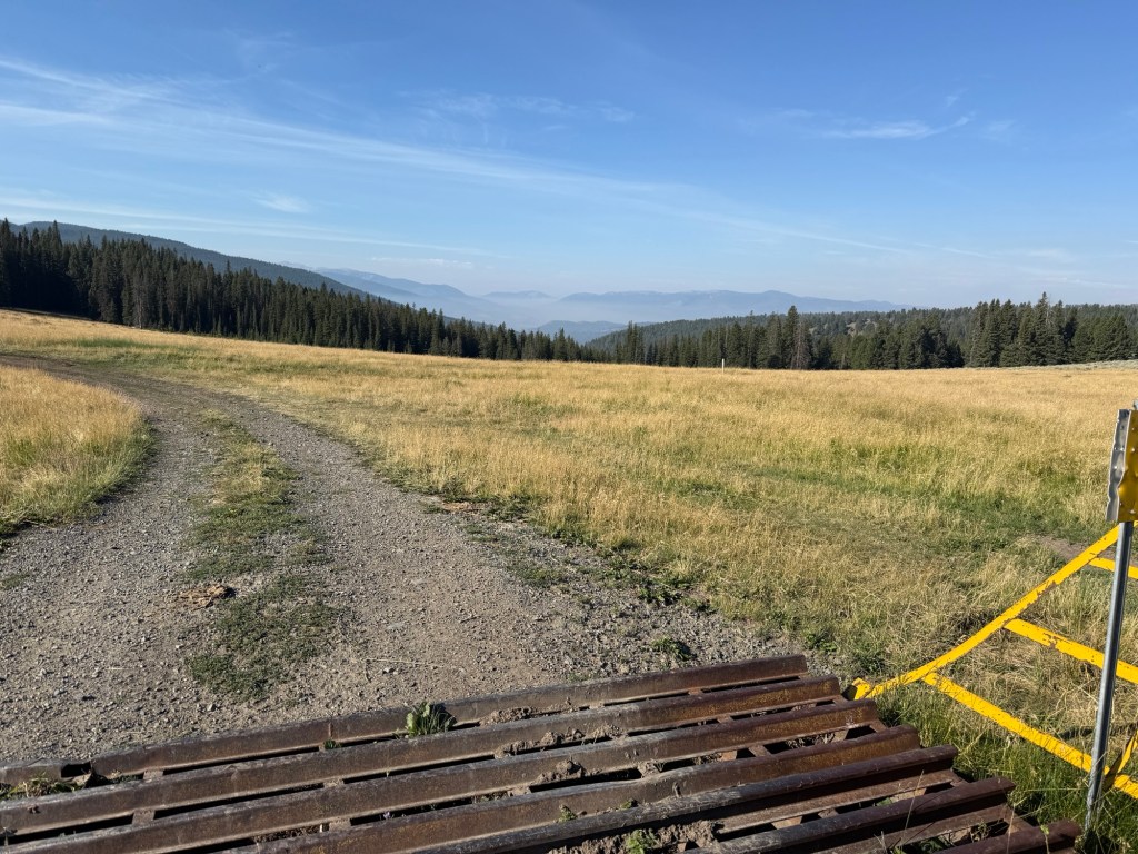
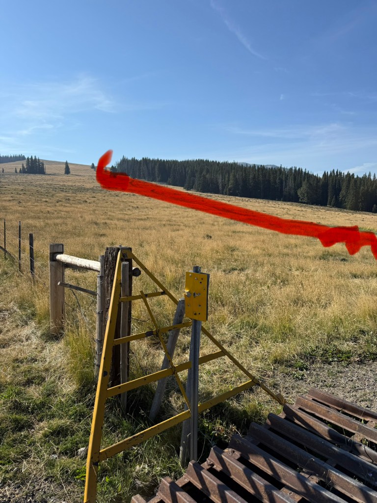
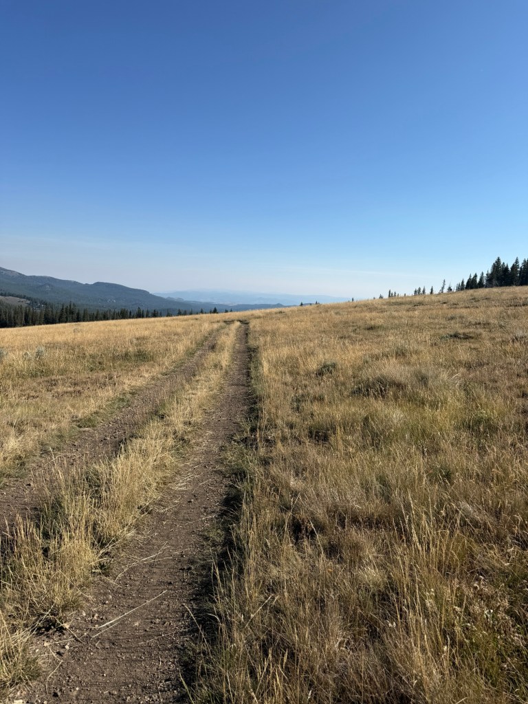
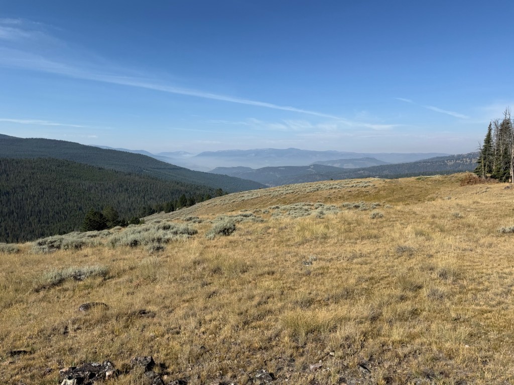
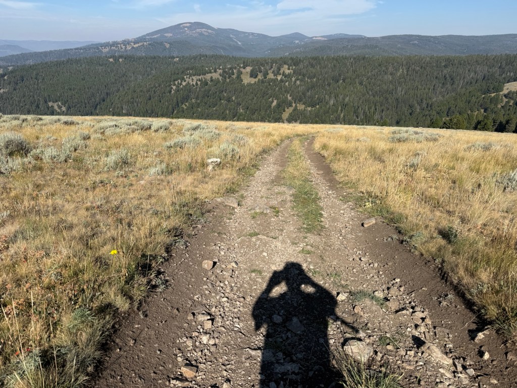
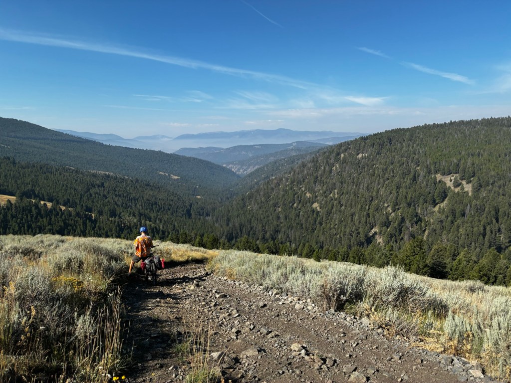
The very last few miles were beautiful as we rode into the town of Wise River Montana. The GDMBR continues on to the Pioneer Scenic Byway and we were supposed to stop at Elkhorn Hot Springs Resort and then ride thru to Bannack State Park. BUT, wildfires closed the Byway. There’s a small store in Wise River that has everything we travelers need. Thank goodness it’s also where all the local forest service workers, firefighters, ATV rental agents all stop for lunch. We got the BEST advice from a young woman who pulled up in a US Forest Service pickup.
There was no hope for the road to reopen, we could not get on I-15 and go around so she set our plans in concrete. State Route 43 to Jackson Montana with an overnight in Wisdom Montana then the next day finish riding to Jackson and off on some other roads to Bannack State Park. With some luck we will stay on schedule.
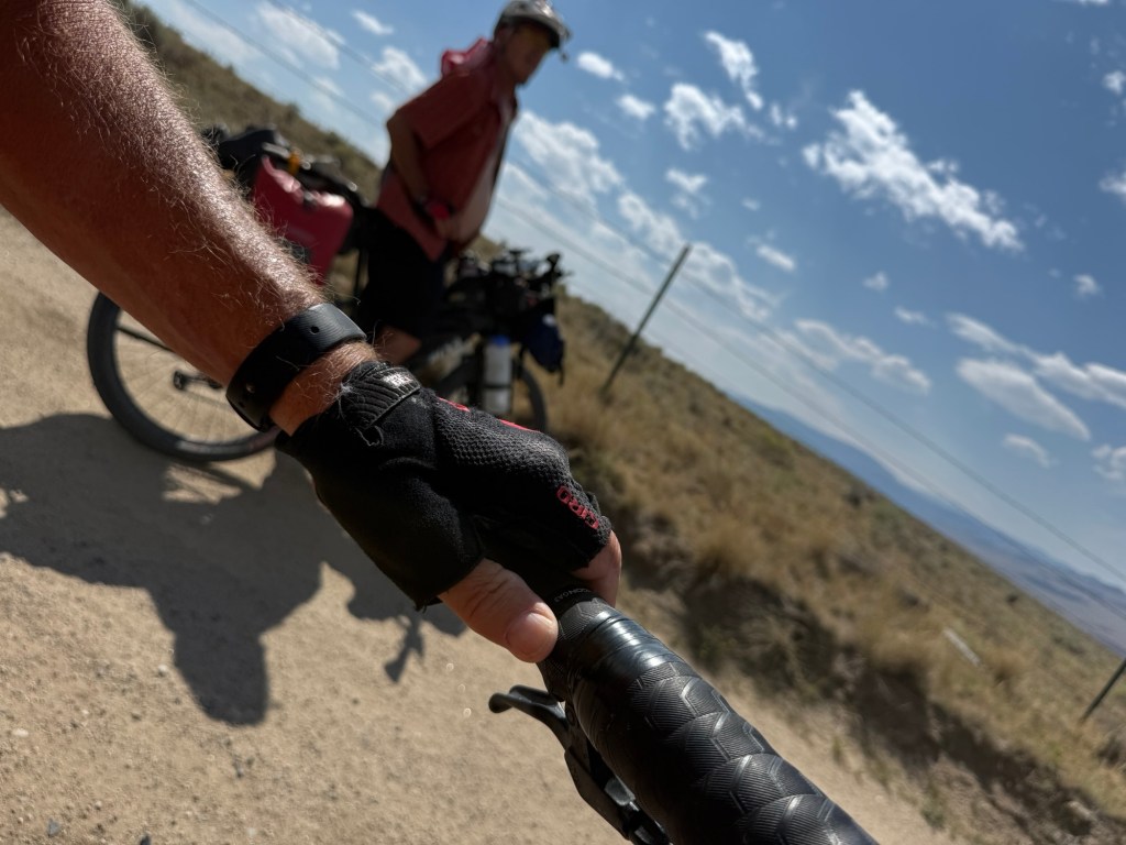
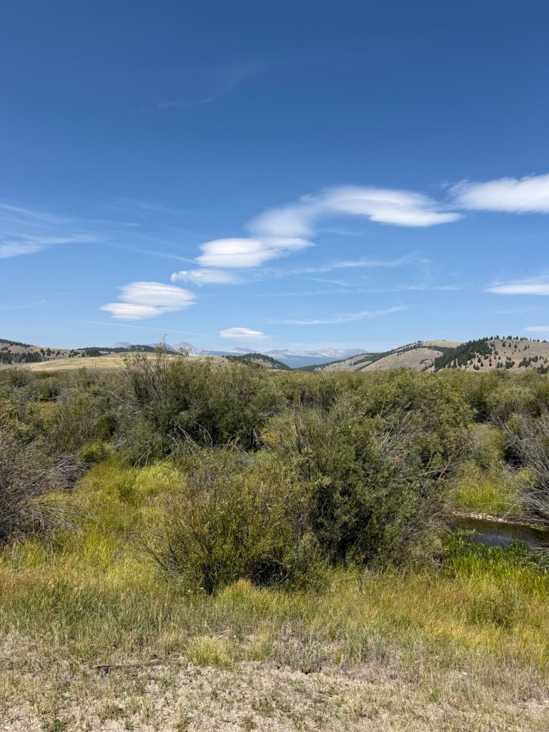
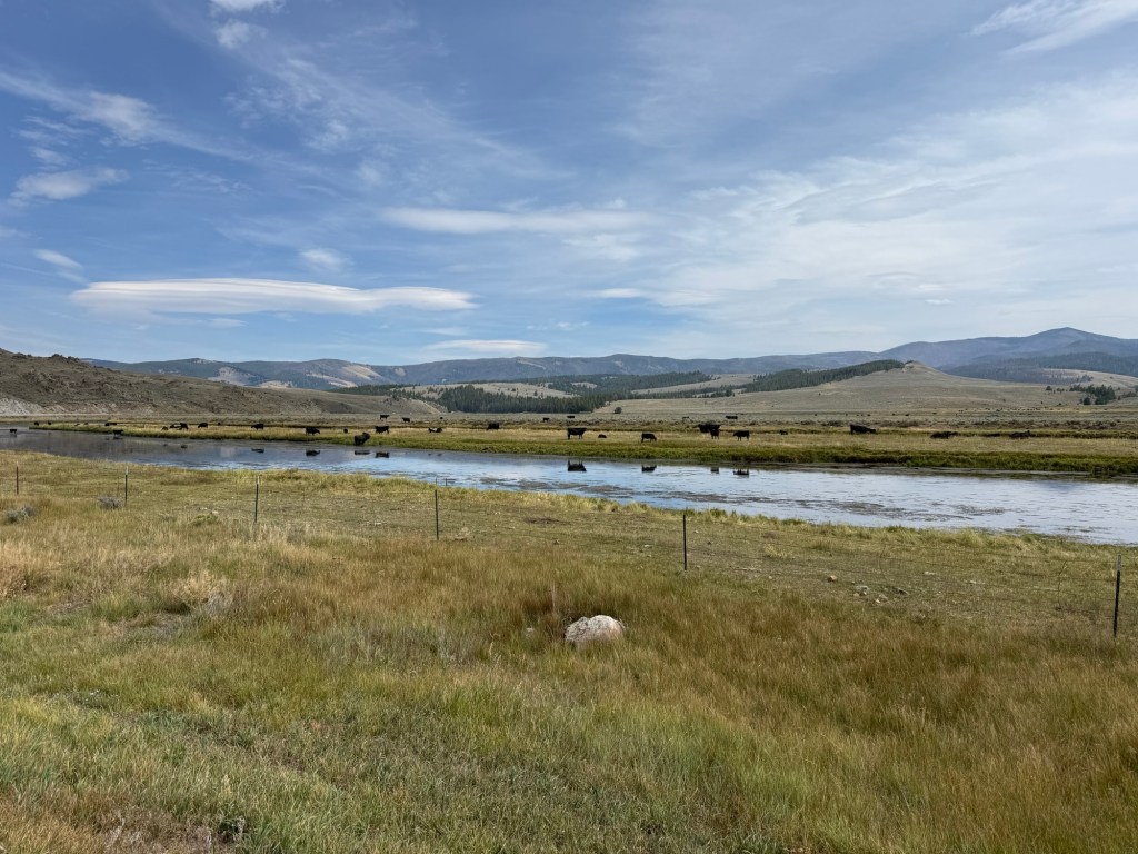
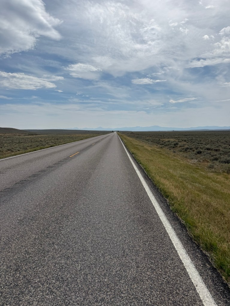
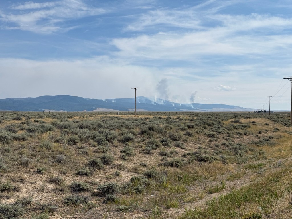
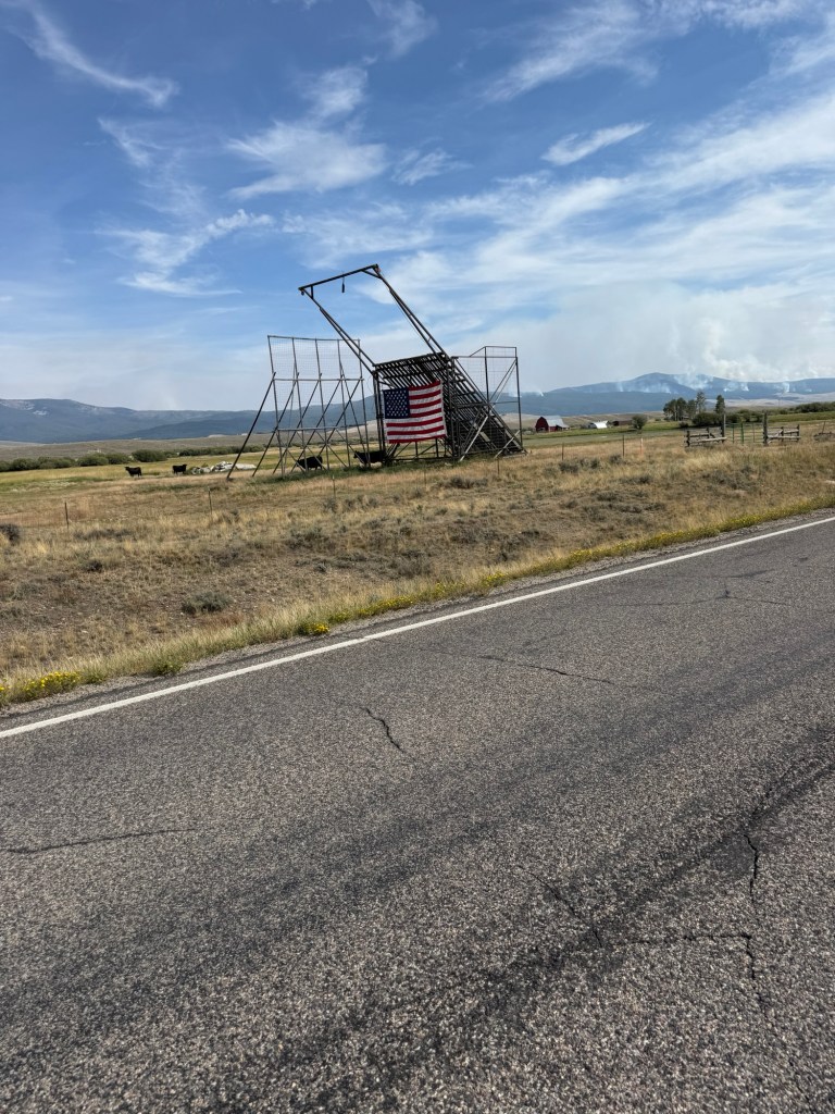
These are the tall, distinctive wooden (or sometimes later metal-reinforced) structures you see in the Big Hole Valley (and nearby areas like Beaverhead County) of southwestern Montana. They were invented around 1908 by local ranchers Herbert S. (Herb) Armitage and David J. (D.J.) Stephens near Briston in the Big Hole Valley / Beaverhead County, and patented in 1910 as the “Beaverhead County Slide Stacker.” The name quickly shortened to “beaverslide.” They are used to stack hay. Thanks to an inquiry to Grok
 Ken's Adventures
Leave a comment