New Link from John C. For the 2nd South Bound Map in the USA.
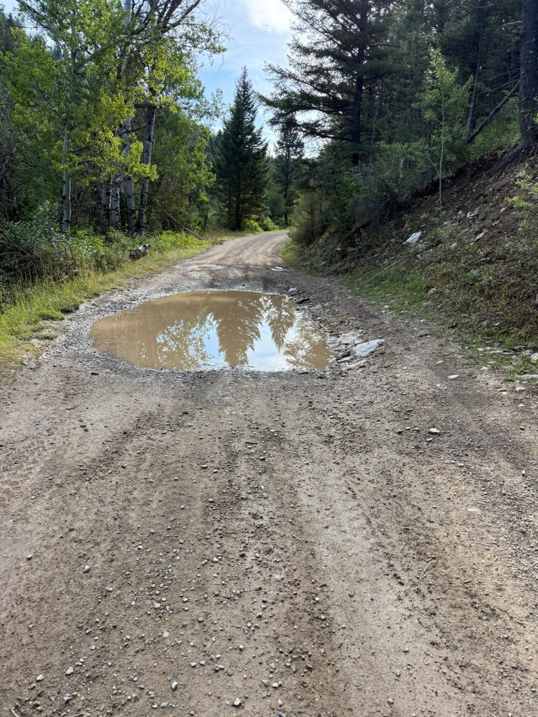
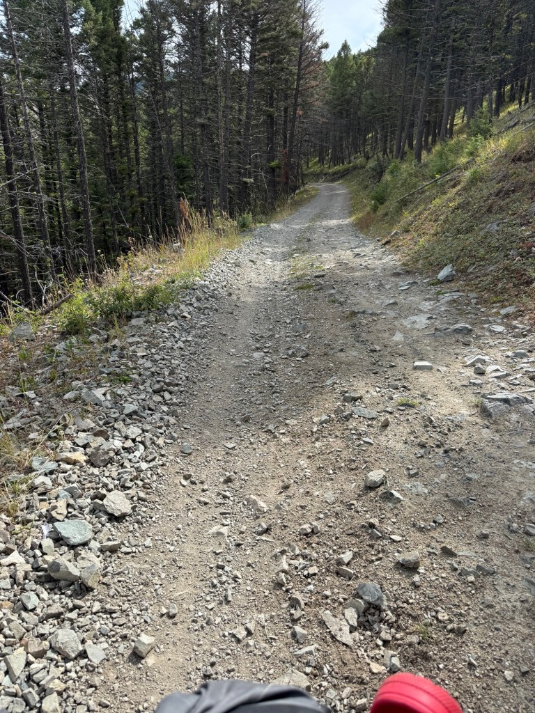
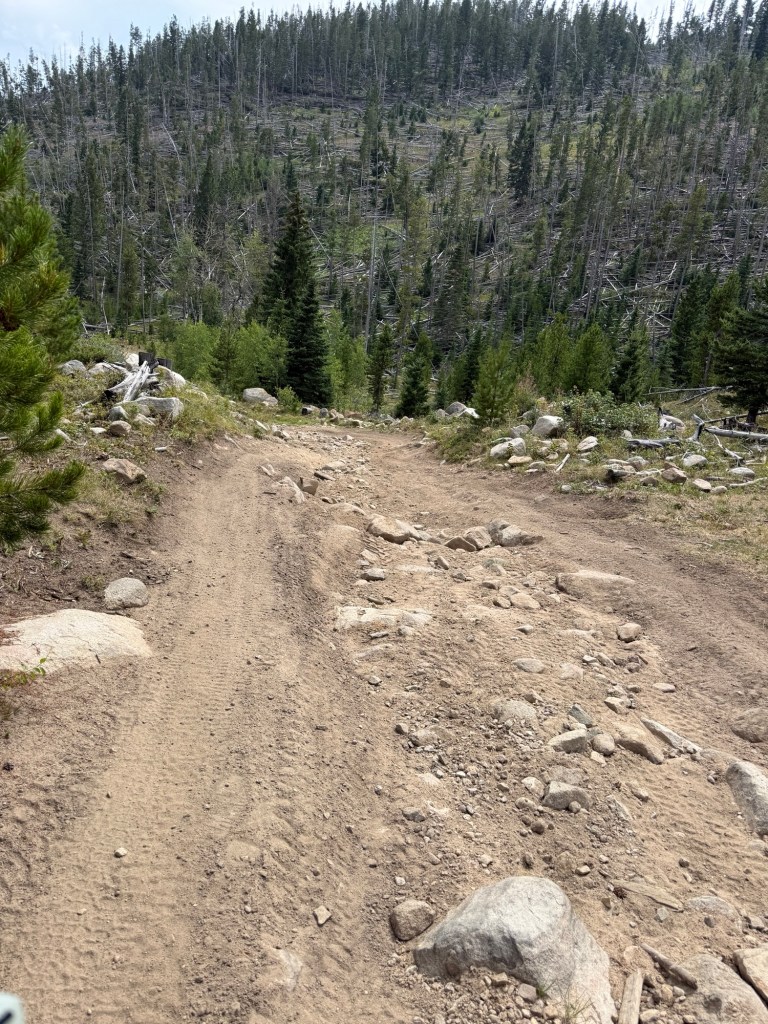
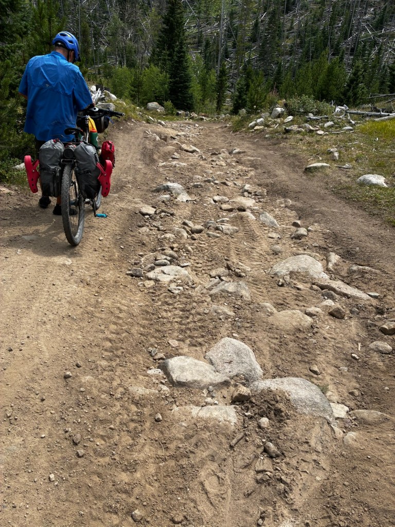
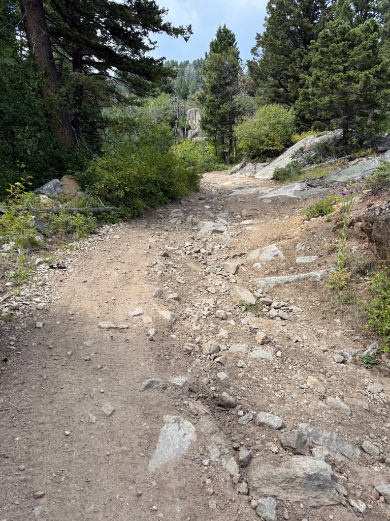
ACA Scolding: This is a difficult undertaking for any human but some of the roads (using that word is taking a literary leap) are just downright dangerous. We found walking several sections a necessity—up hill and down (especially just after Priest Pass).
On the upbeat…..
We did have a great day today, challenging, great vistas, met some fun people…. And the regular stuff.
Pulled out of the Llama Hostel around 8 — Thanks Barbara, I slept well!!!
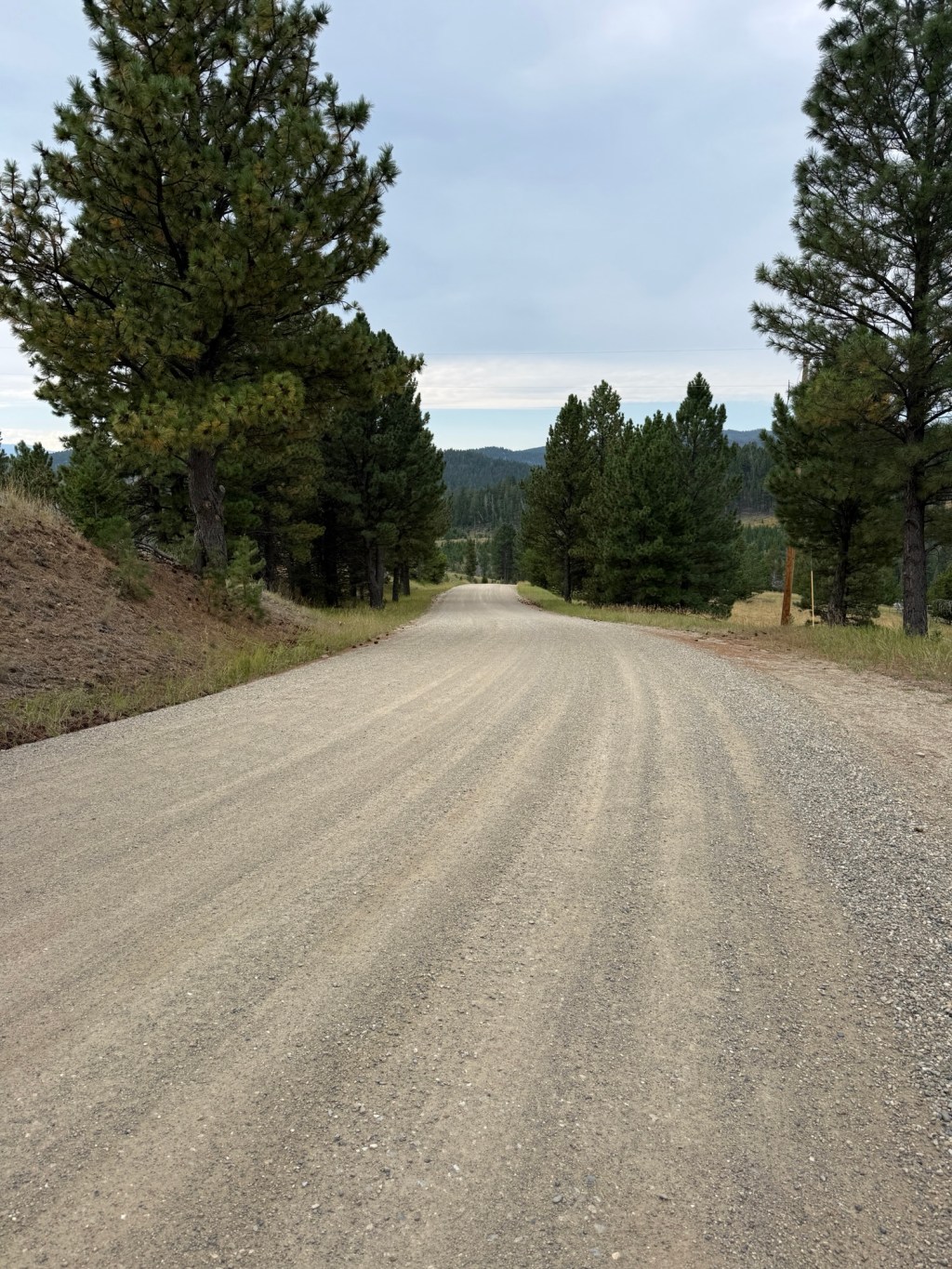
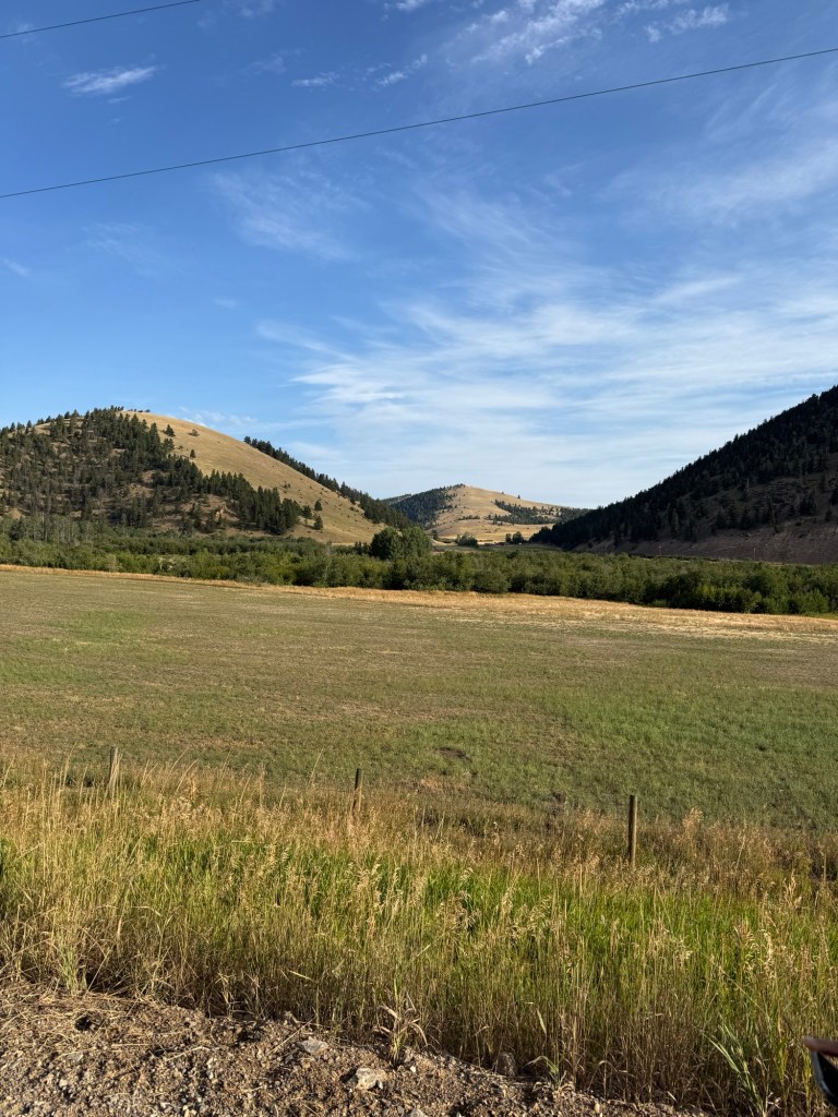
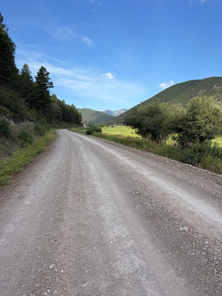
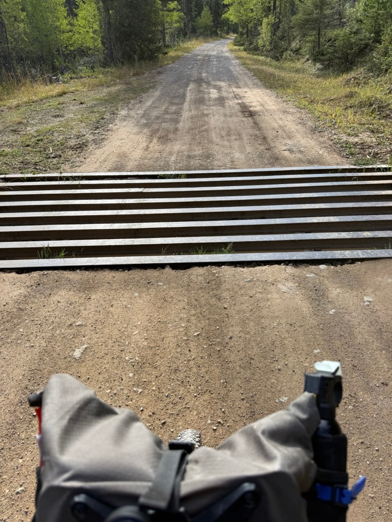
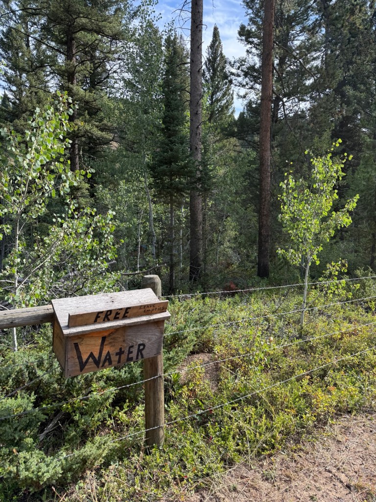
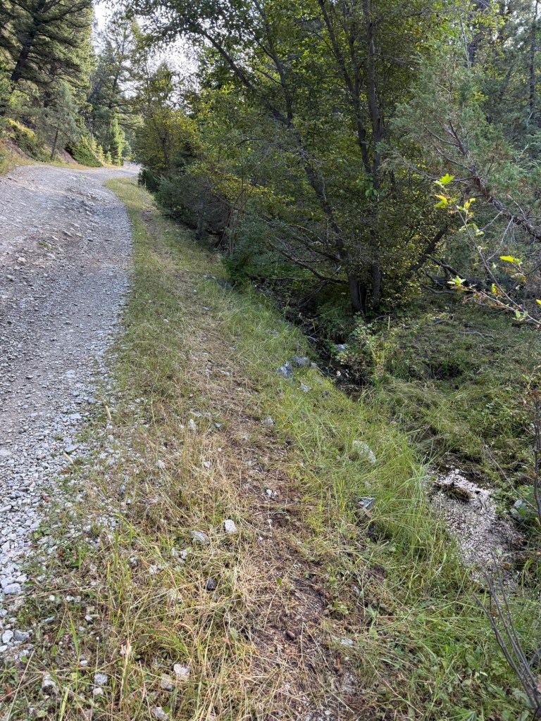
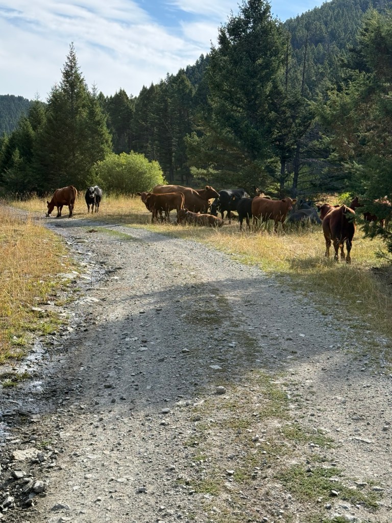
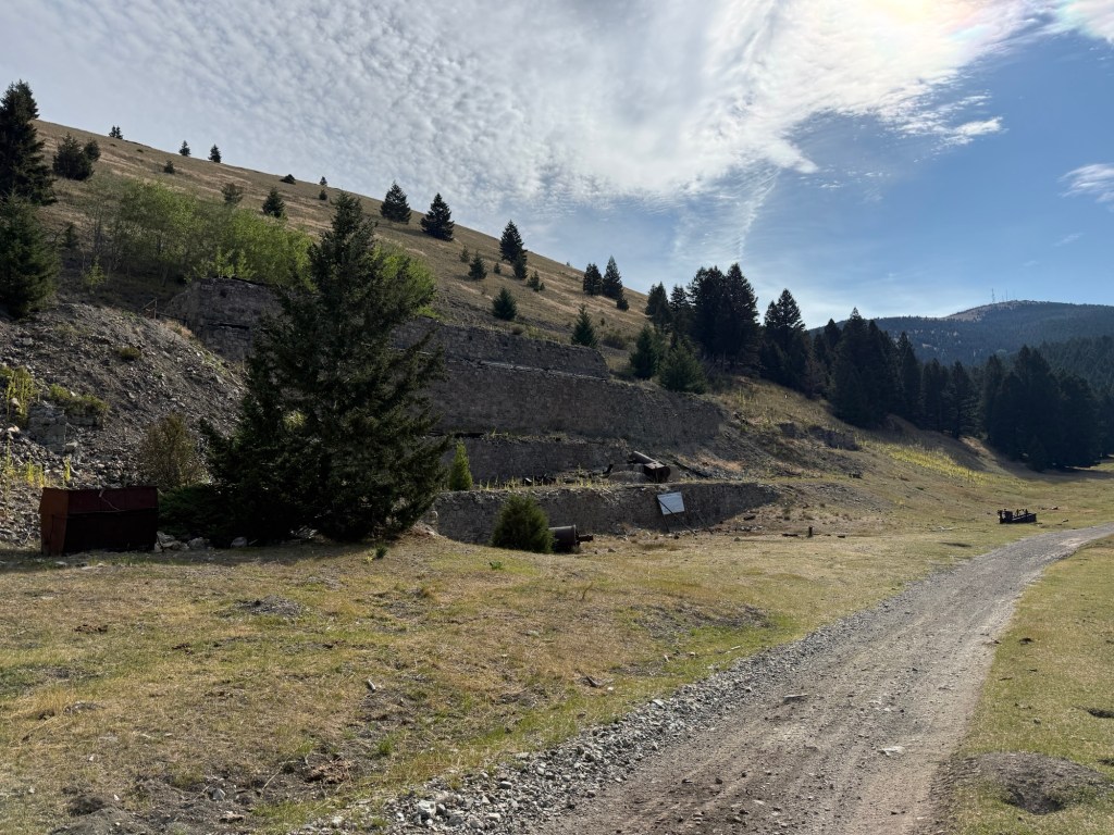
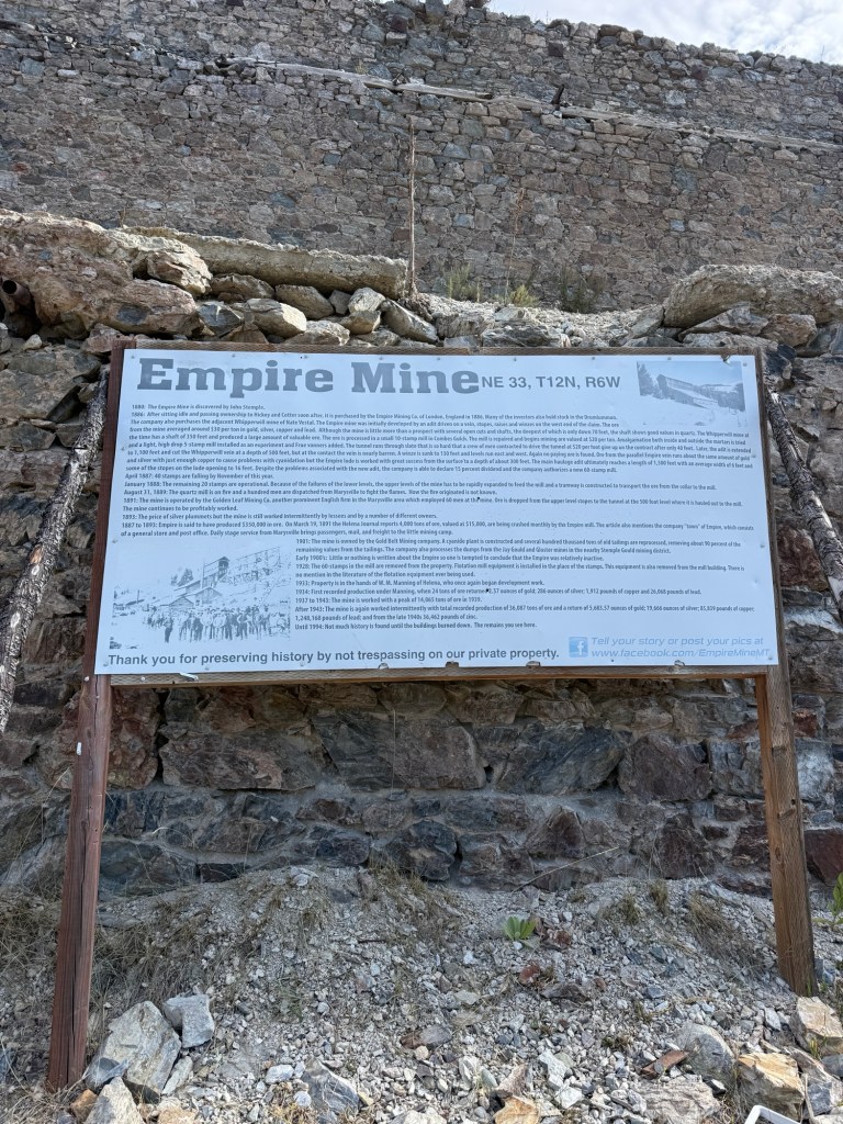
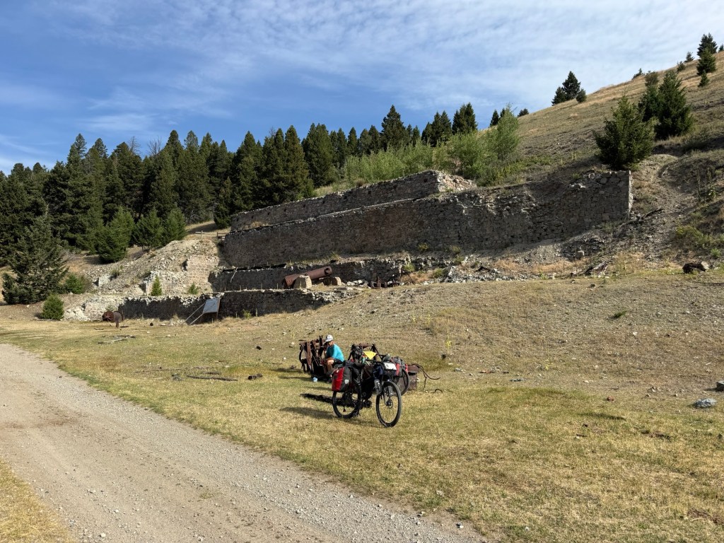
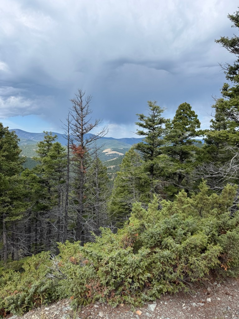
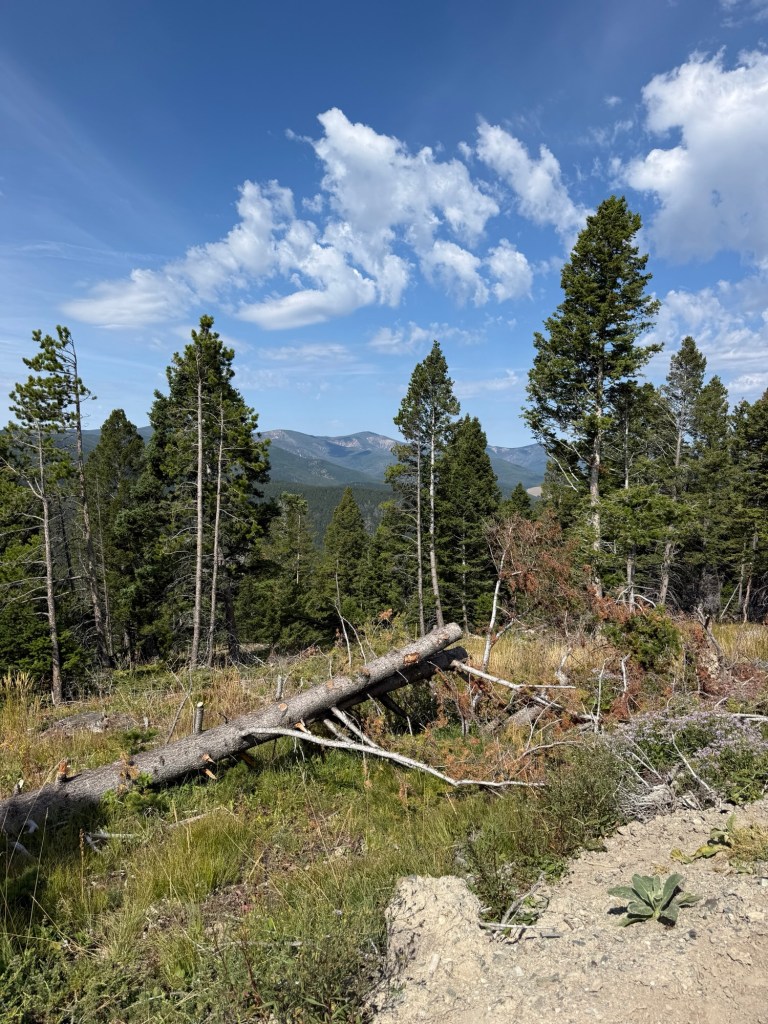
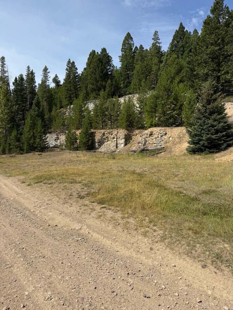
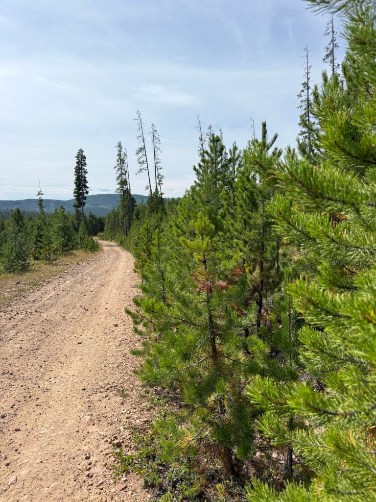
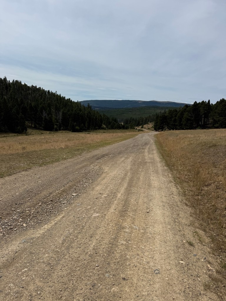
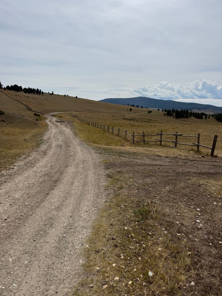
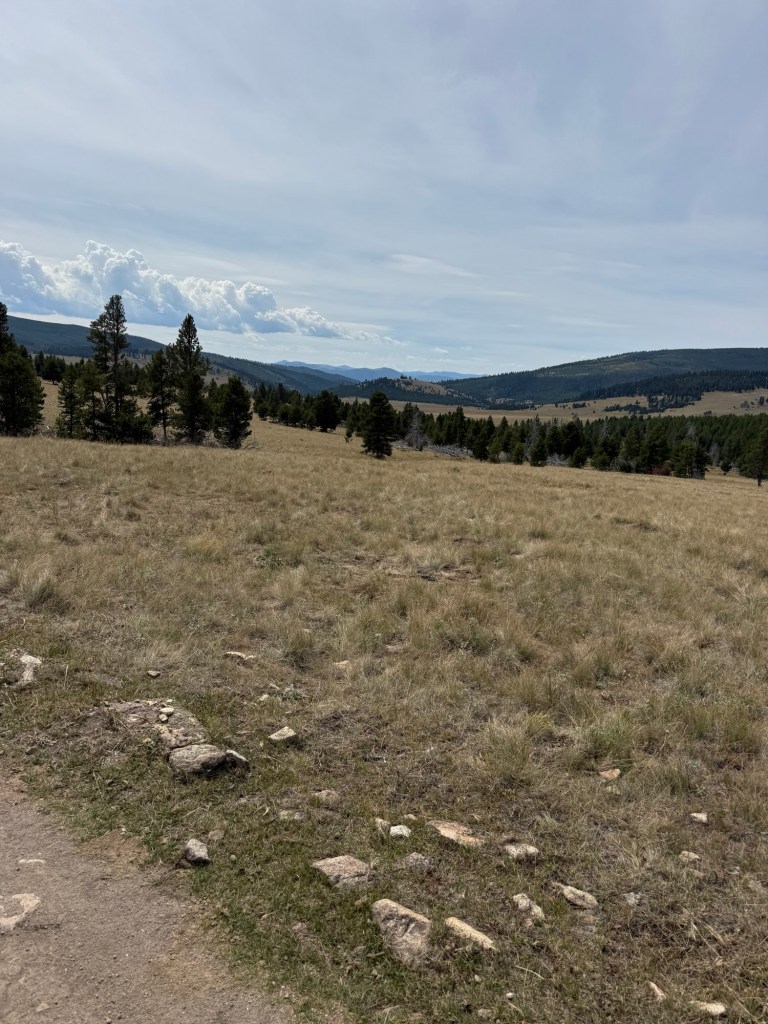
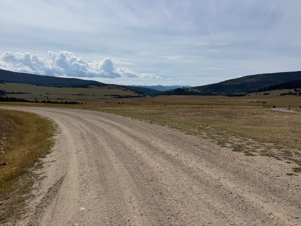
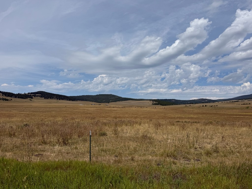
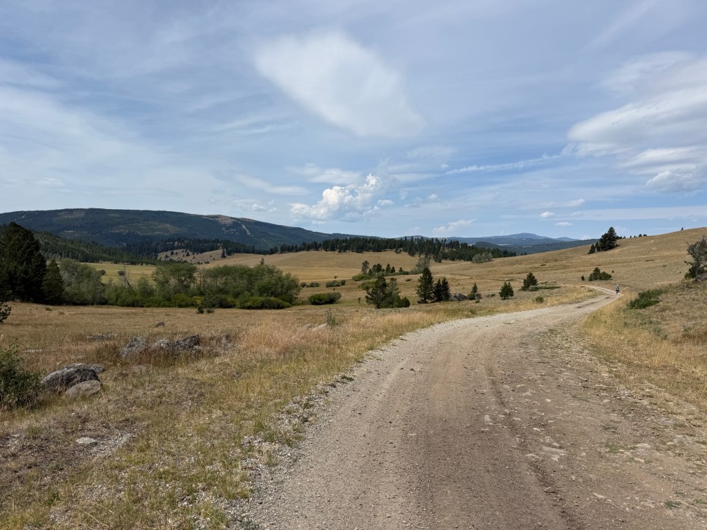
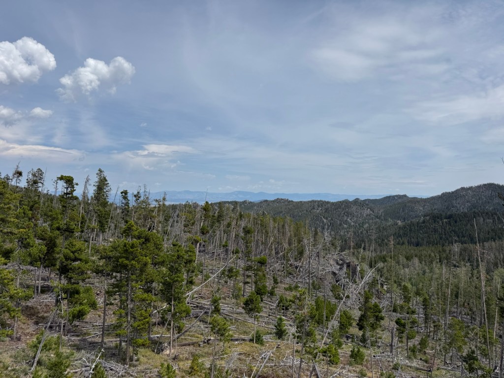
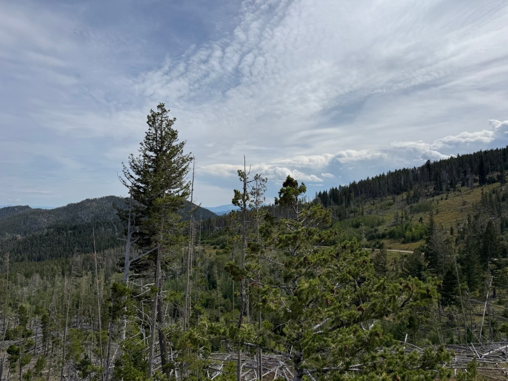
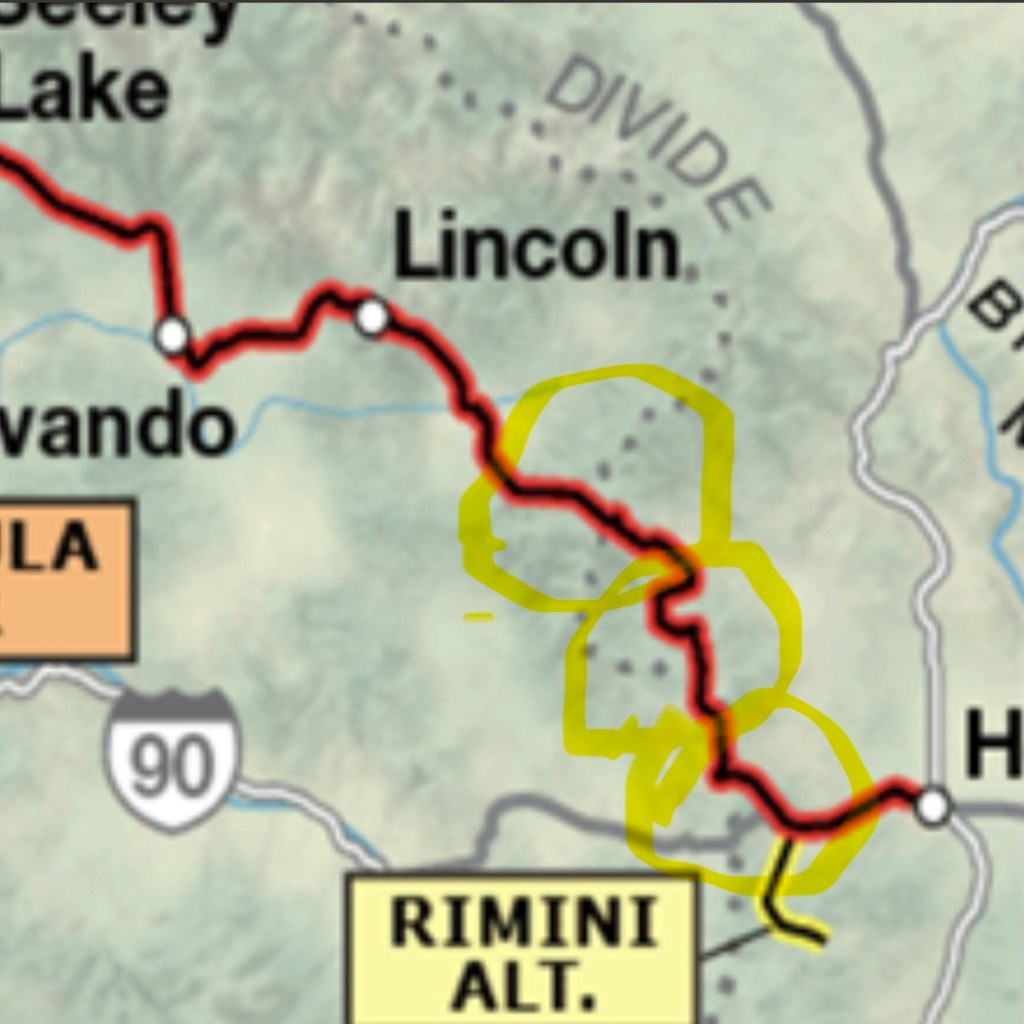
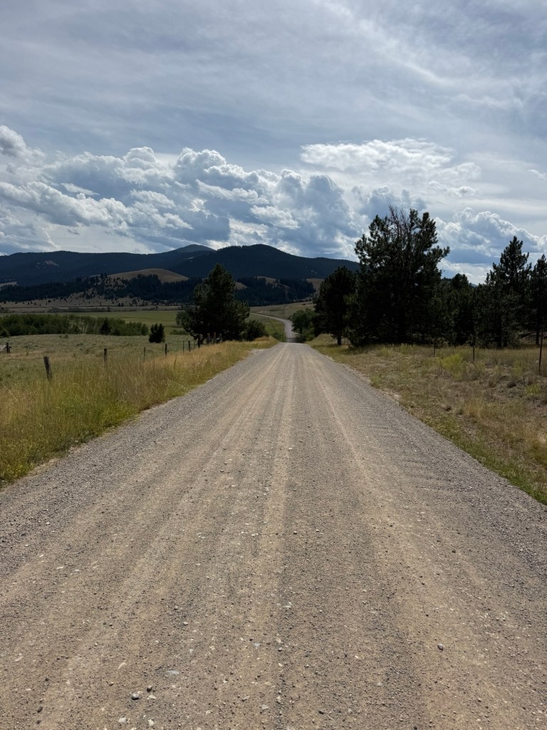
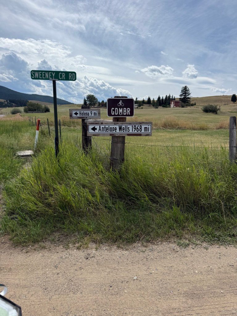
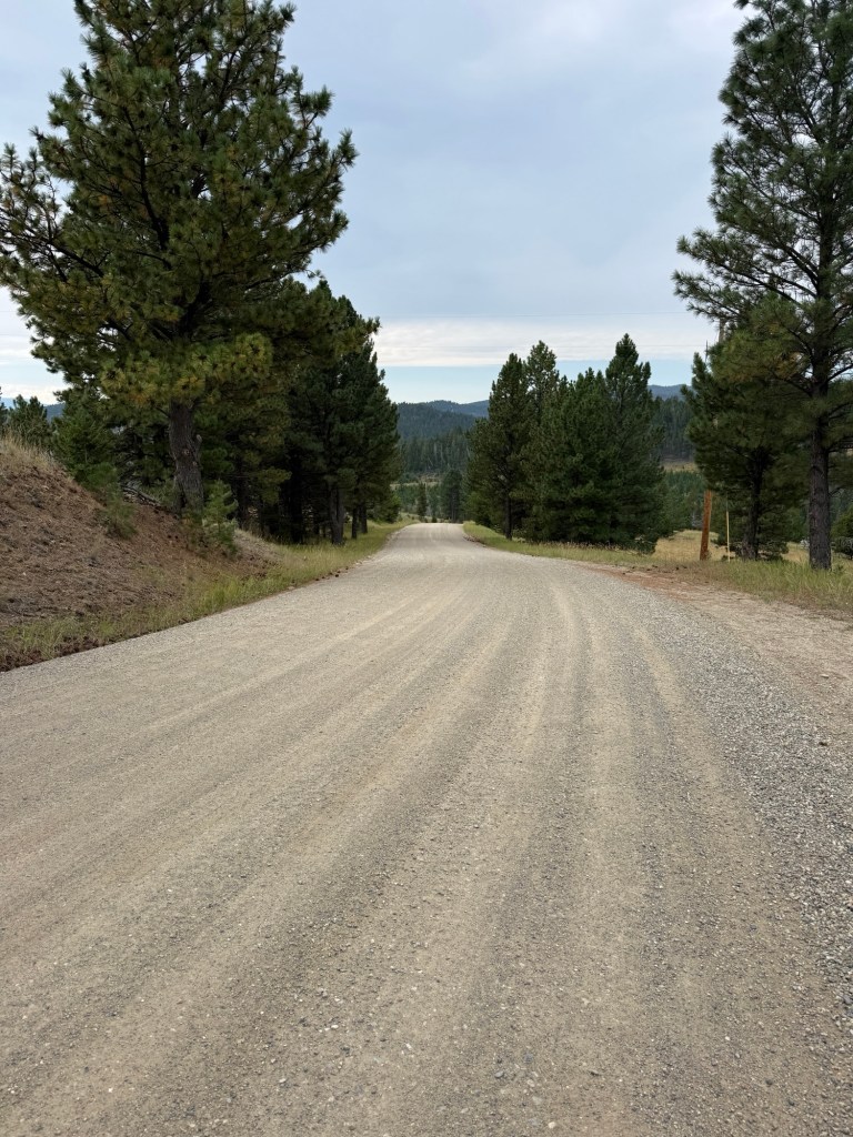
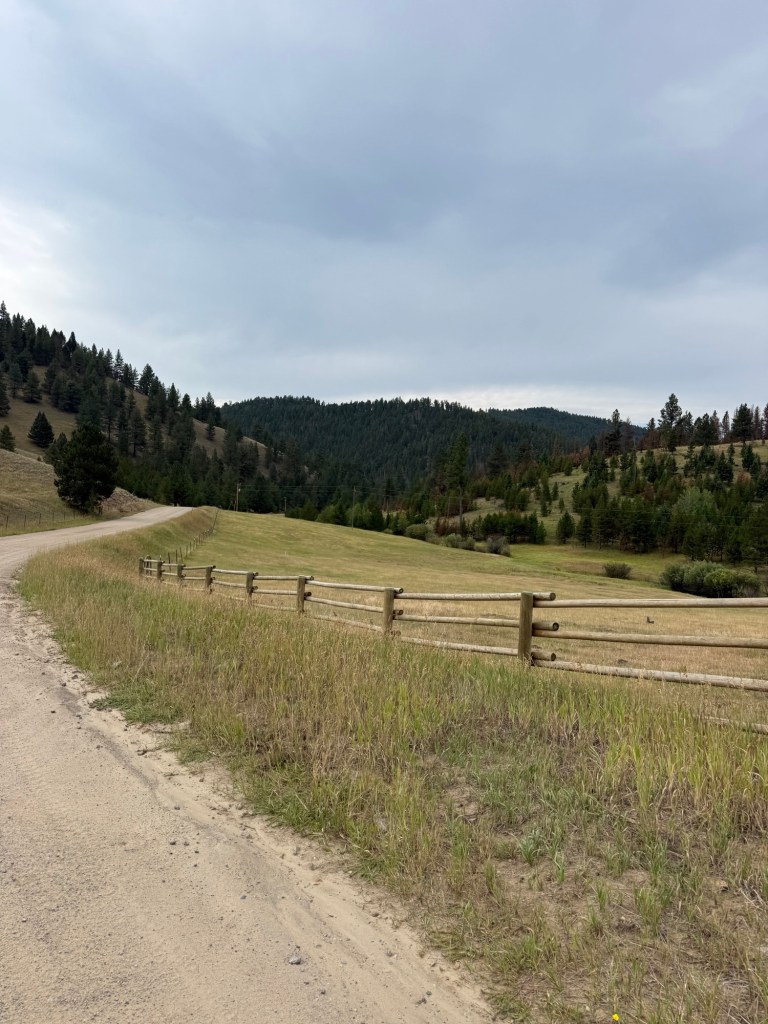
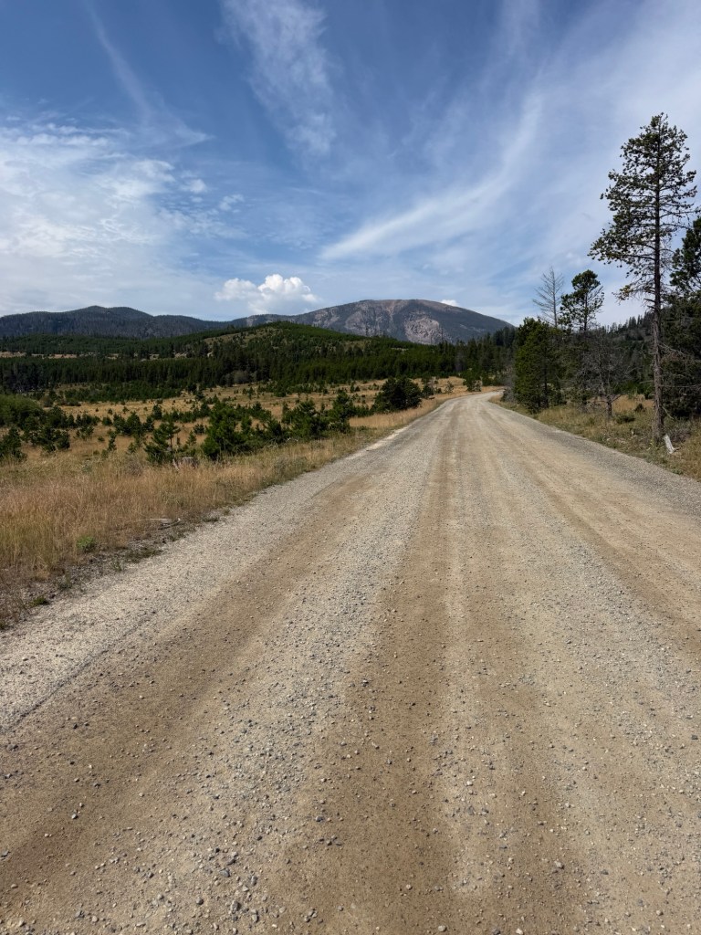
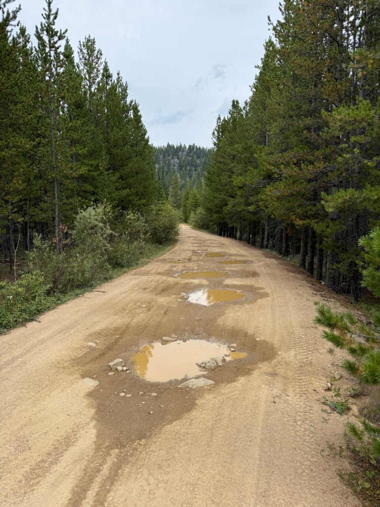
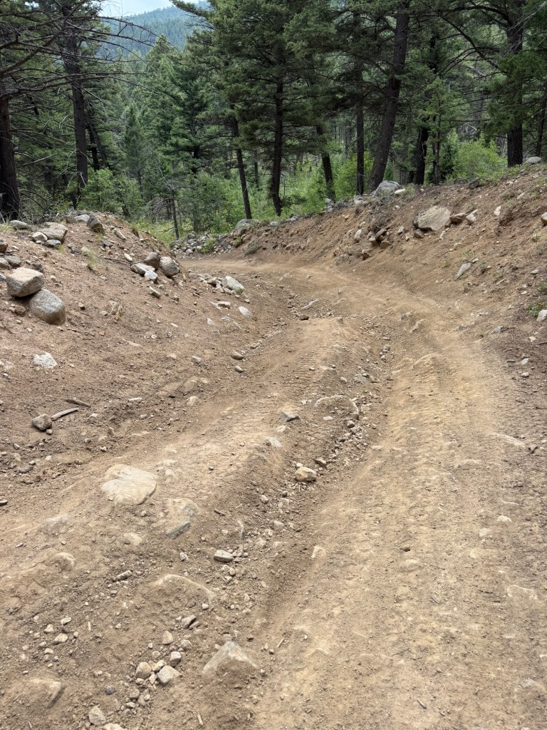
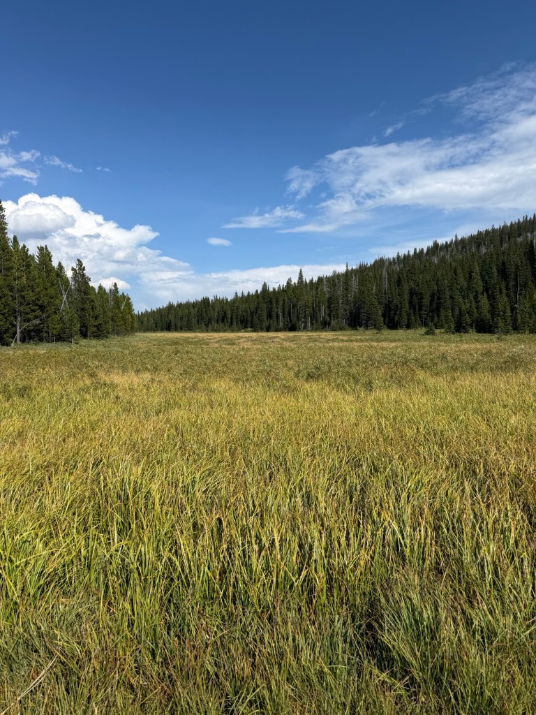
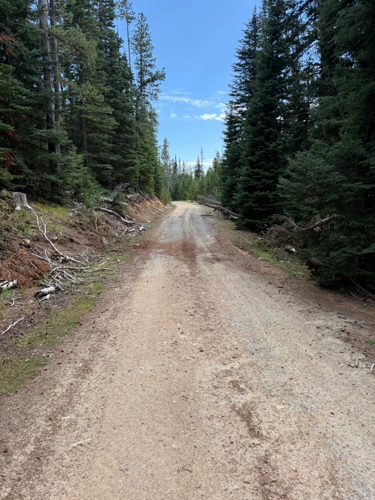
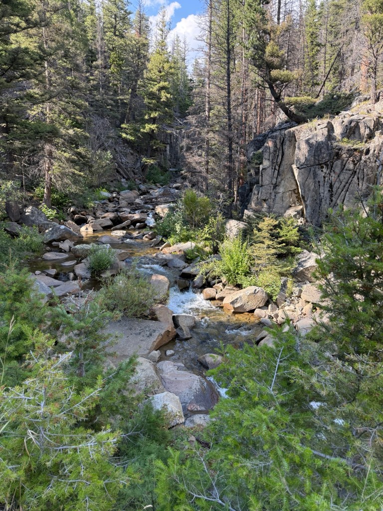
Looking Back Up the Valley at the Llama Ranch.Road Conditions Looking Good EarlyAs Soon as the Grade Aims up the Road Quality Goes Down, What the Frustrations Include With Road Quality Like this is that us riders are no longer able to look around at the Mountains, & Streams & Trees & Chipmunks, we are only trying to find a line to aim our bikes!Lots of these Cattle Gates (in Canada they are “Texas Gates”)Trail Angel 😇 Beautiful Stream running along this cobbled road This Farmer set his Mineral Block out on our GDMBR. Yes they Do Lay Their Pies Out There For Us To Ride Around and Thru!Empire Mine Remains made a Great 2nd Breakfast StopYou can Read Its History Yes we got there on our Bikes Road ⬆️ those Cobbles Make The Hill Twice as Steep Beautiful Views and about 10 Minutes of a Light Shower View Gets Better Another Historic Mine Site These Vibrantly Green Young Trees Lined the trail for several miles. Just below Here the GDMBR is also the CDT (Continental Divide Trail). This time of the year the hikers on the CDT who are going North are plentiful in this area because they are trying to Finish Before the Winter. 1st we ran into an older Couple from Vancouver Island, they had more to talk about than we had time, but they were Entertaining. Then we passed 3 Younger guys with nothing to say. After that we ran into 4 Younger Hikers, two from Texas and Two from New Jersey (guy and girl) they were very friendly and lots to talk about… wish we had more time.Great ⬇️ road and great view BeautifulEndless View I can’t take any more of these vistas!!!!Spectacular view👍Top of Priest PassPriest Pass again—Today we crossed the Continental Divide twice, and you know we crossed it yesterday and also one time in Canada, so I have crossed the Continental Divide 4 times so far 👏👏👏👏Three recent locations of Continental Divide CrossingsBarreling Down to Helena MontanaMet Fred who was out Mowing the lawn— Fred put up these signs on his very nice property. What a nice guy to add this touch to our Adventure
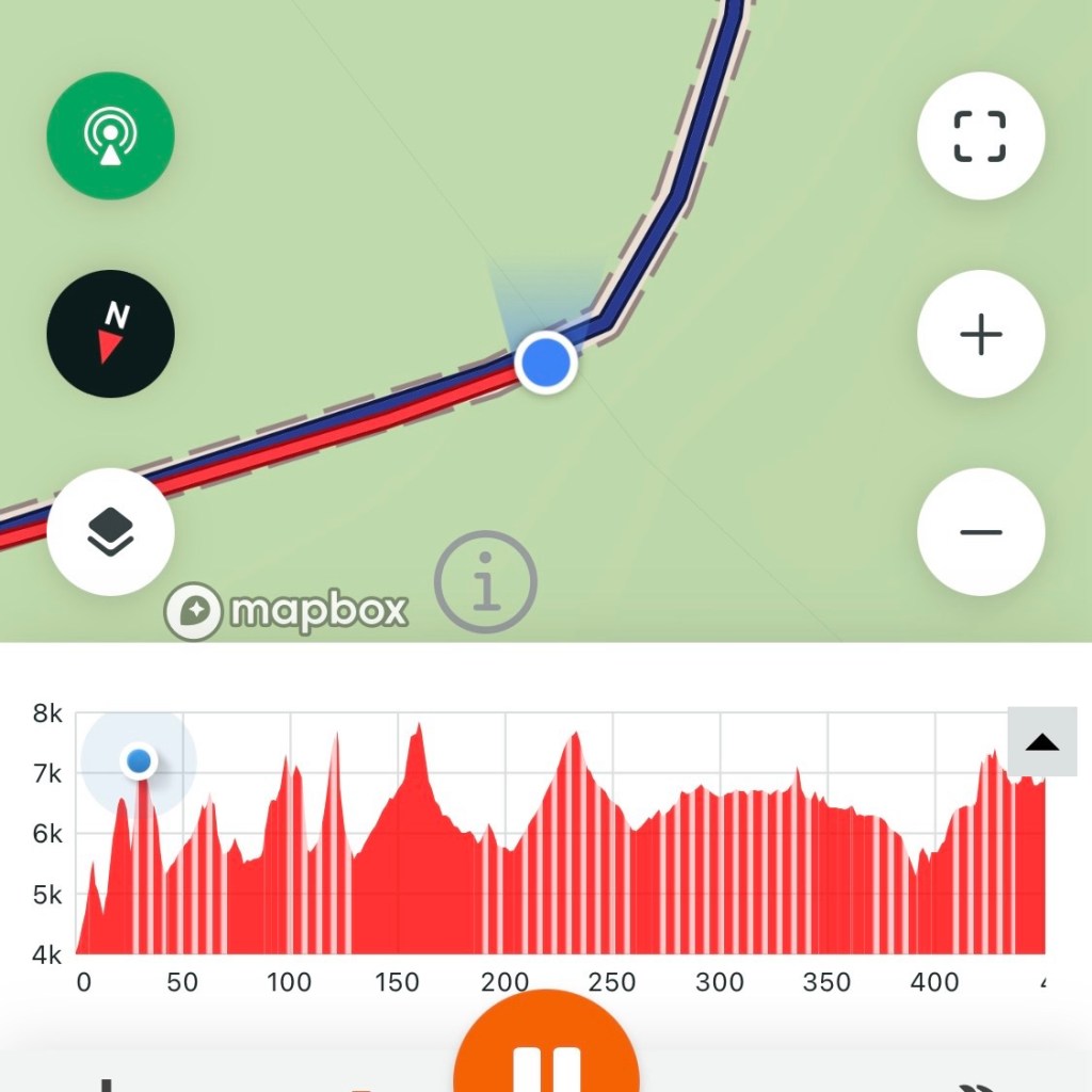
Tuesday, August 18th, 42.3 miles and 5262 accumulated vertical feet up.
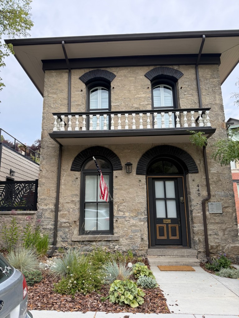
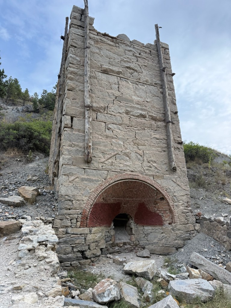
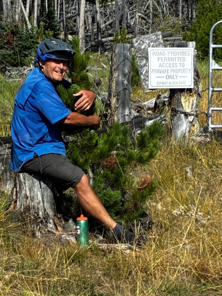
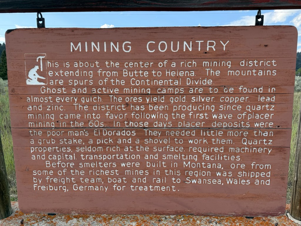
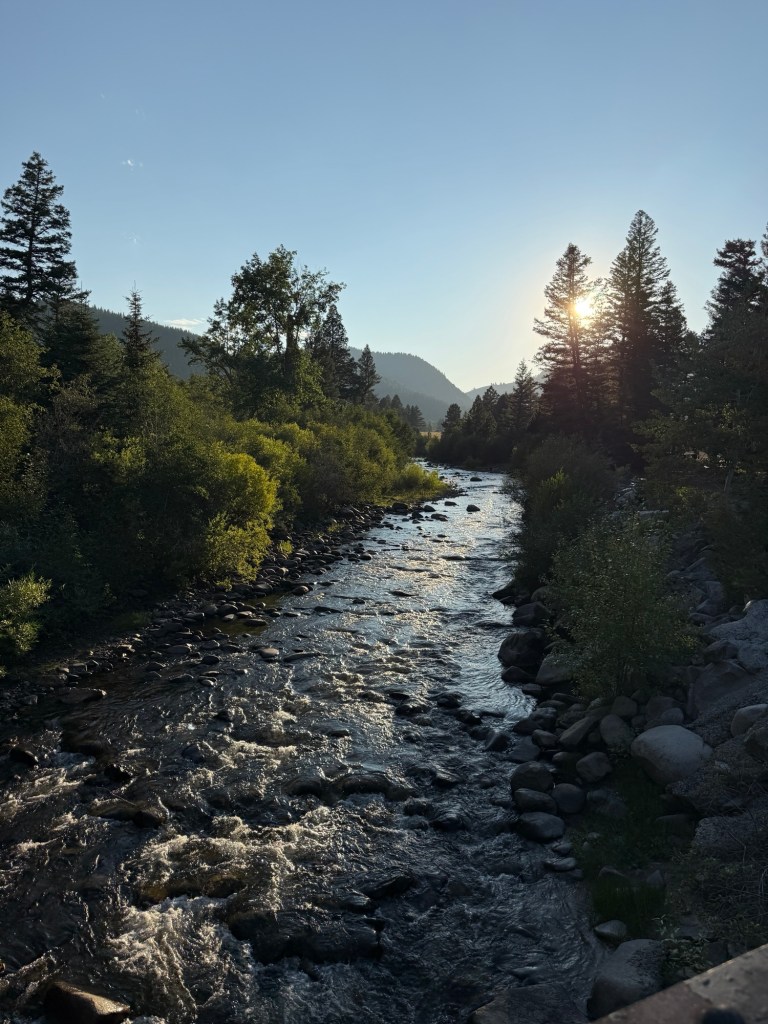
Historic “Stone” house in Helena Some sort of furnace related to a mining operation 👍More Beautiful Views 🚴♂️🚴♂️👍I knew it would get to this level We walked and pushed our bikes 5 to 7 miles both up the mountain and then down 👎👎👎ACA calls this a trail???There was some love shared between me and this kind treeBlue Dot Screen Shot at 7,187 feet above sea level. Today we climbed 5262 accumulated vertical feet, that’s a RECORD for the trip. Getting back down took some finessingBeautiful on the way down once I got to reasonable roadsThis is more like it Very nice stream along most of the road to Basin Montana Sign adjacent to The Merry Widow’s Mine & Campground, I met the owner, she is a delightful woman and she runs a top notch place along I-15 in Basin MontanaBeautiful stream running behind my camp site.
Comments
One response to “Great Divide Mountain Bike Route Day 24 & 25”

 Ken's Adventures
Leave a comment