Wednesday, September 16th, 40.3 miles and 3597 accumulated vertical feet up.
https://ridewithgps.com/routes/56550007
Use the above link to follow our route
Rolled out of the hotel in Salida this morning turned East onto US 50 — no I wasn’t heading home! — we went to McDonalds to pick up 2nd Breakfast. But it is funny being on the GDMBR for 54 days and our hotel is on the same road as Cleves and North Bend.
So we stopped tonight at Tomichi Creek Trading Post, it’s an everything place, gas station, C-store, cabin rental, full hook up RV spots, tent camping, ice cream store, and nice country restaurant. I was at the bar having a beer and Scott was in the laundry doing our laundry and into the store walked a couple, Andrea & Tarek, they started the GDMBR in their hometown of Whitefish Montana. We had a great 45 minute talk and exchanged contact info, they intend to finish around the same time as us. Andrea is a nurse at Polson hospital and Tarek is an artist (not starving) working mostly out of Glacier NP. They decided to continue on for an hour or so and take a chance with the rain/camping.
So tonight after dinner (Elk meatloaf sandwich with huge delicious salad) into the restaurant walks a GDMBR rider named Andre, he’s from Britain but has been living in Ashland Oregon since the 80’s. We first met him at Boreas Pass where we talked briefly. Tonight I got the lowdown. He started in Banff with a friend who needed to surrender near Colter Bay after some personal issues. But Andre is continuing. He’s camping here tonight. He expressed a thought about riding with us tomorrow. Nice guy… he crashed on that beautiful bike trail between Silverthorne and Frisco and has a large bruise on his left thigh and a good size gash over his left eye. He’s in really good spirits and we talked for about 30 minutes. He is a retired residential painting contractor and he rode the GDMBR in 2019.
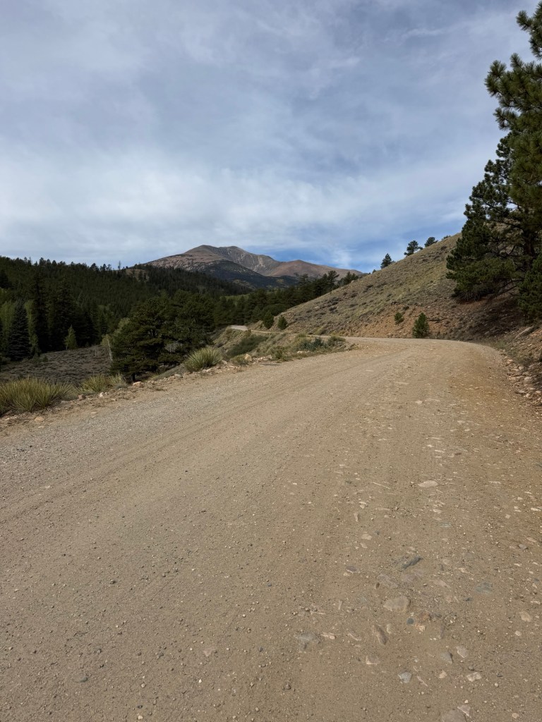
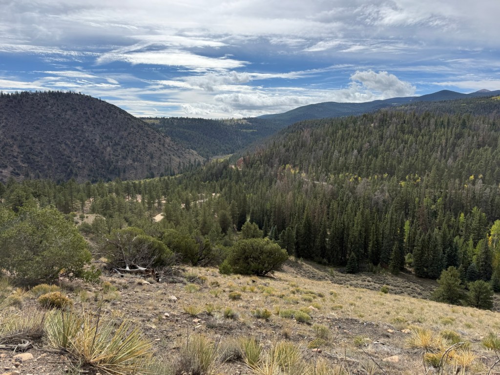
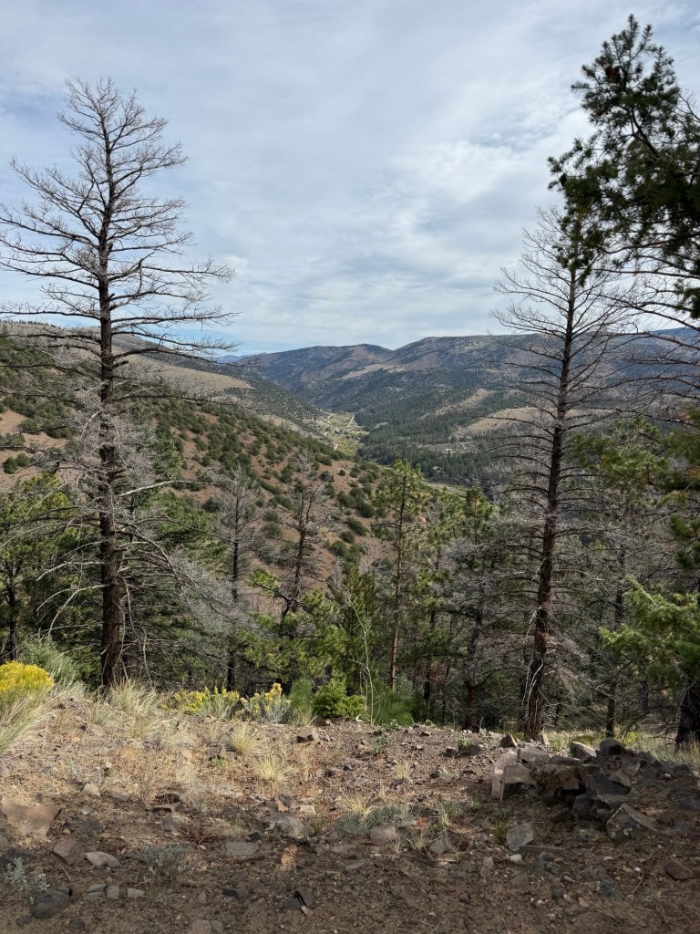
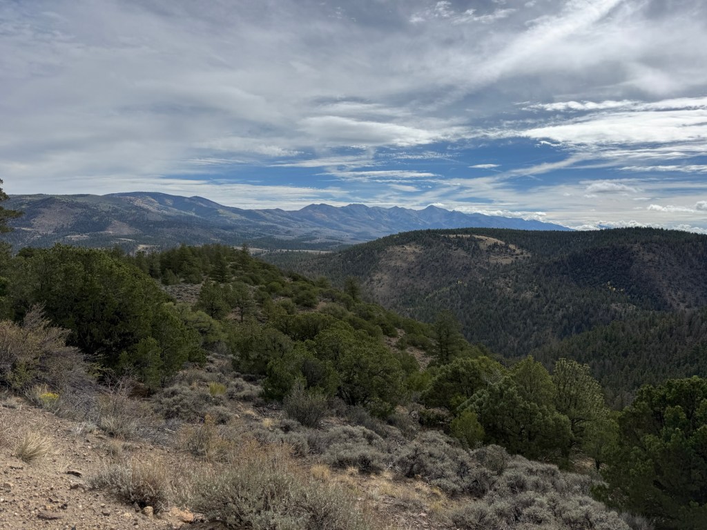
Thursday, September 17th, 0 miles and 0 accumulated vertical feet up.
RAIN— lucky we found this cabin at the Tomichi Creek Trading Post. Andre left us this morning about 10:30 just as the overnight rains were winding down. We decided since the weather forecast was predicting rain on and off throughout the day to stay. Management made us move to another cabin but it worked out fine. Late this afternoon a group of 3 riders from Alaska and a fourth guy that we never talked to rolled in on bicycles. The 3 Alaskans only got rained on for about the last hour of their ride. They started at the Canadian Border. We all had dinner together and lots of conversation about the GDMBR ride we have all come so far on. We shared our favorite experiences, and chatted about some of the rougher days. It was a fun dinner. Al from Anchorage who invited us to visit and stay at his house. Tim the youngest at 56 from Palmer and Jim also from Palmer. All of these guys are retired. These guys ride together at home and they have all done RAGBRAI — Al is from Iowa and lived there through college.
Friday, September 18th, 48.3 miles and 2929 accumulated vertical feet up. 2244 Route Miles to date and this is the 8th week complete👍
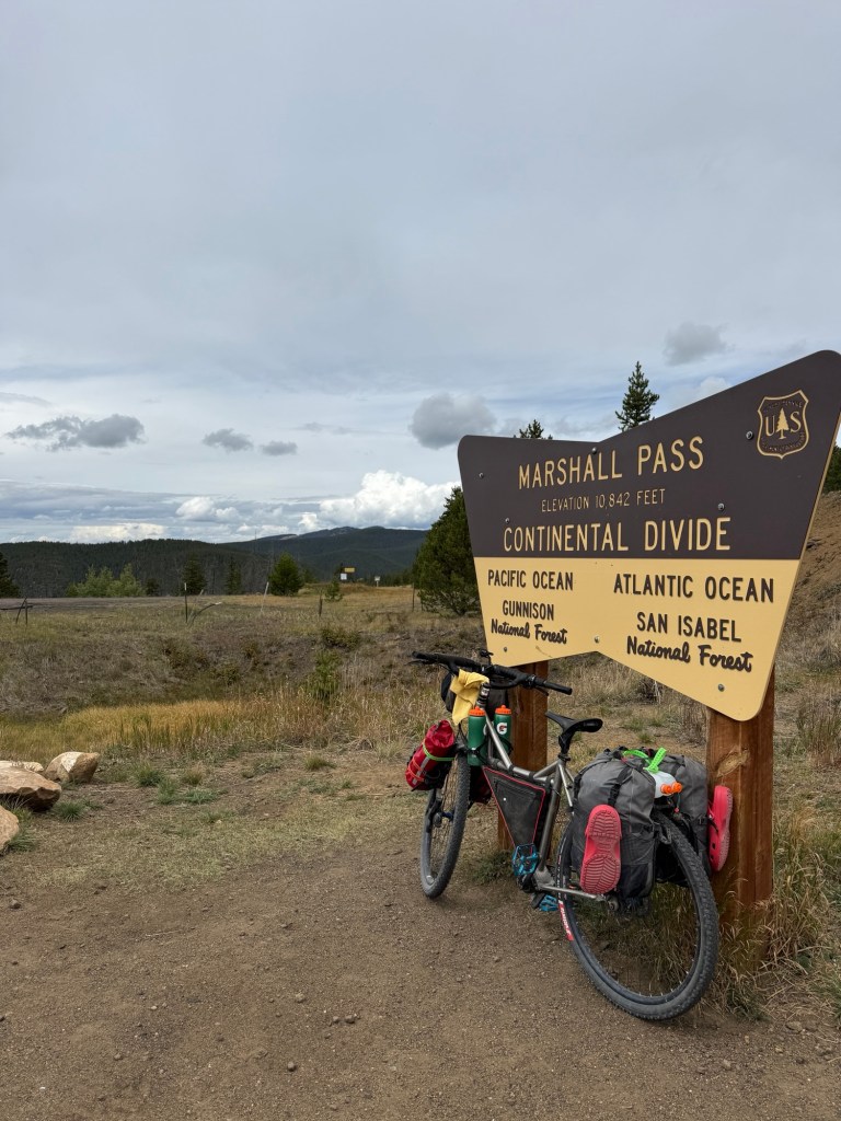
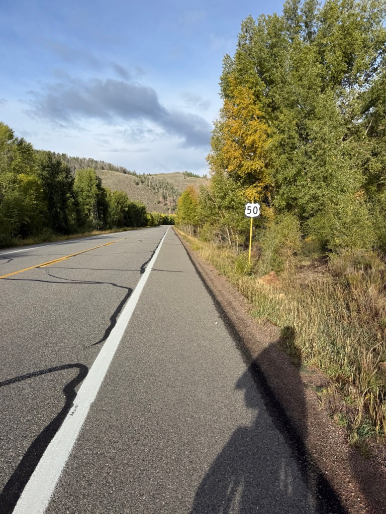
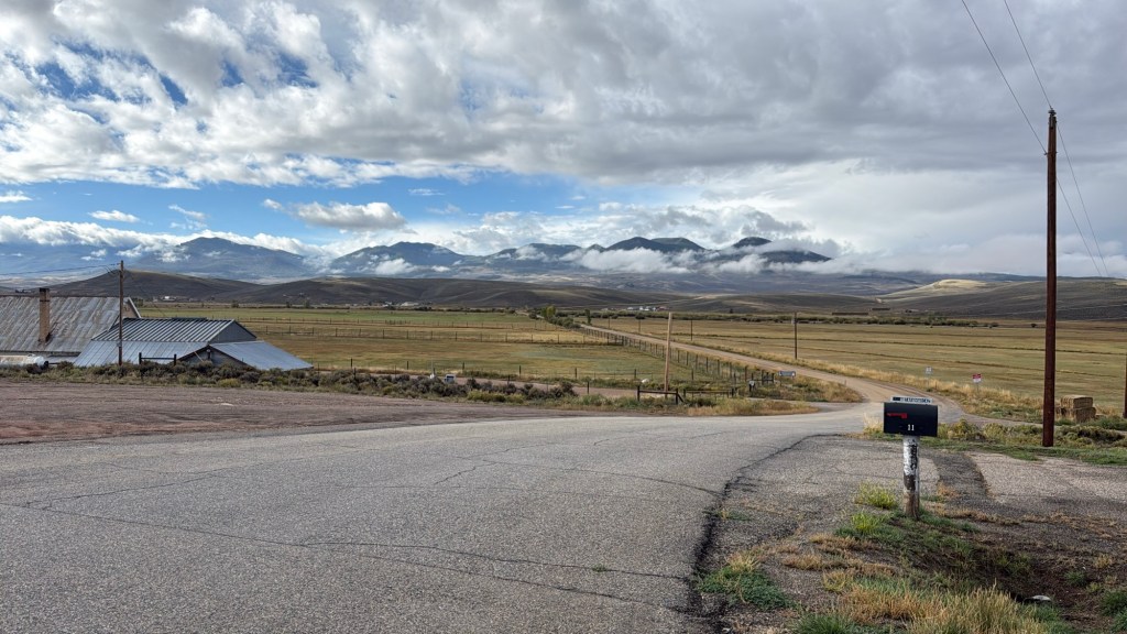
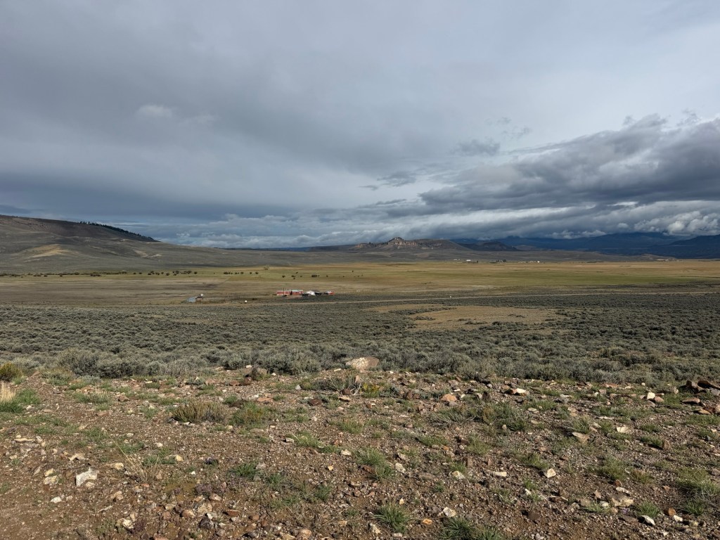
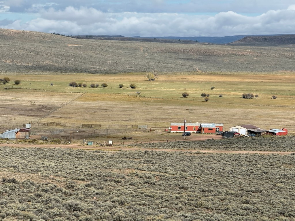
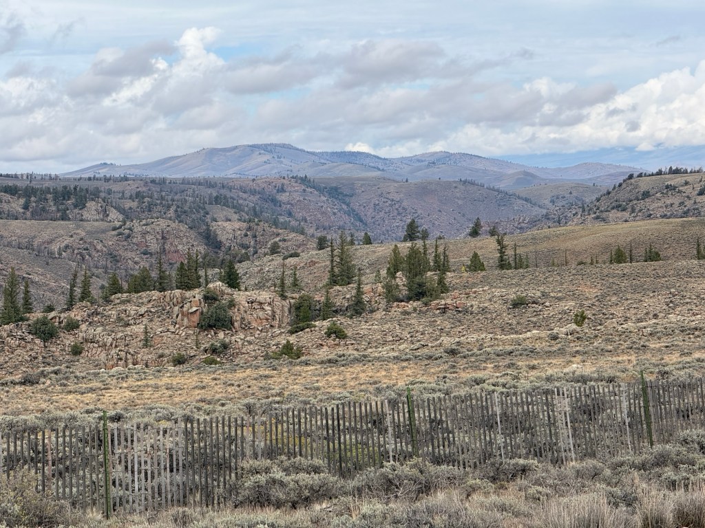
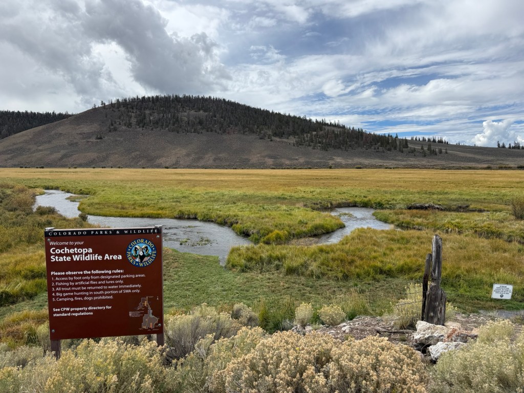
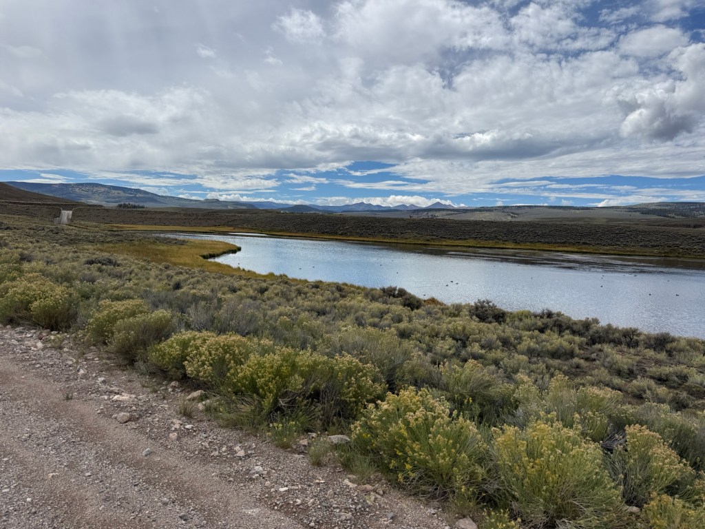
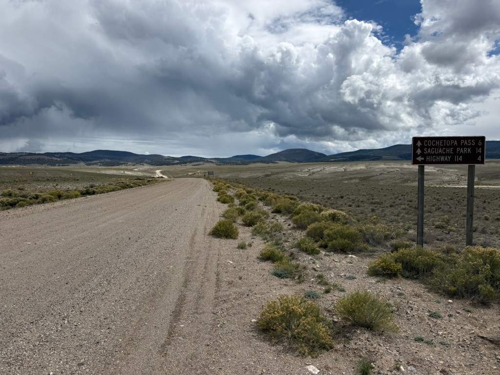
Today was a great day to wonder through central Colorado on a gravel/mountain touring bike. It seems as though we are now traveling with Al, Jim, Tim (not positive on names, from Alaska) and also with a young man, Matt, from somewhere in Iowa. We met him as we were pulling out of Tomichi Trading Post in Sargents. We are camping together tonight in the Luder’s Creek Campground (10,044 feet above sea level) just south of Cochetopa Pass (at the Continental Divide). It’s Raining! 😫😫 Our rain will flow towards the Gulf of America & to the Atlantic Ocean.


Leave a comment